
Devil's stones

OSTROWY TUSZOWSKIE, GM. CMOLAS, POW. KOLBUSZOWSKI OSTROWY TUSZOWSKIE, GM. CMOLAS, POW. KOLBUSZOWSKI

OSTROWY TUSZOWSKIE, GM. CMOLAS, POW. KOLBUSZOWSKI

An erratic boulder (Scandinavian granite) with dimensions: length 3 m, width 2.2 m, height 0.8 m. On the surface one can see holes created by drilling with an auger, probably in order to split the stone or during the celebration of the so-called "Sobotka".
According to local beliefs, the devil appeared on the stone in various forms. One version of the legend says that the devil was supposed to hurl a stone at the monastery in the White Mountains, however, he missed, and the stone was hurled into the marshy meadows. A spring bursts out just nearby, but no information has been recorded regarding possible beliefs about it. The boulder is located in a marshy wetland at the foot of the so-called "Monastery Hill." Currently it is a forested area of the Sandomierz Forest, but a few decades ago it was occupied by meadows. According to local tradition, there was supposed to be a monastery (or church) here, which had collapsed, or possibly a "pagan charm". On Pentecost, local residents used to burn St. John's Day fires at the site.

Geographic coordinates: 50.301492, 21.655571

Sources of information: Kotula 1974, 174-175, Fig. 87; information board; field queries

Location on Google maps

OSTROWY TUSZOWSKIE, GM. CMOLAS by Chodlik Archaeological Mission on Sketchfab

Location of place on Heldensfeld's map of Western Galicia (1801-1804); (Anton Mayer von Heldensfeld, Carte von West-Gallizien welche [...] in den Jahren von 1801 bis 1804...}.

MRUKOWA, GM. OSIEK, POW. JASIELSKI MRUKOWA, GM. OSIEK, POW. JASIELSKI

MRUKOWA, GM. OSIEK, POW. JASIELSKI

The so-called "Burski Stone" according to local tradition with an imprint of the foot (or two feet) of the Mother of God, built into the wall of the Roman Catholic chapel of the Mother of the Church in Mrukov Forest. Below the chapel breaks out a spring, the water from which is said to have miraculous healing powers. Witold Fusek, in his collection of legends, fairy tales, superstitions and customs of the Biecko land, gives information obtained from an old forester: "when the statue of the Mother of God - the one that is in Tarnowiec today - years ago was transported from Hungary to Jaslo - at the place where the brick chapel stands today, they rested and placed the statue on a rock. On this rock, the body of the Mother of God miraculously embossed its reflection (...) The rock with the reflection of the Mother of God was dumped in the stream - but she herself returned to her previous place. A statue of the Mother of God was erected on this spot, and later the statue was moved lower and a chapel was built there. Lemkos pay great reverence to this rock. They kiss it and "bite it with their teeth", calling out "Our Mother". The rest of this rock is built into the wall of the chapel". According to another legend, St. Kinga was said to have passed by this miraculous place.
Franciszek Kotula recalls a local legend about a statue of the Mother of God who escaped to Poland from Hungary during the persecution of Catholics. Tired, she decided to rest on a roadside stone, in which the mark of her small foot was imprinted. A wooden chapel was then erected at the site, in which the stone was placed. According to legend, the date of the wandering of the statue of the Mother of God - the year 1444 - was placed on it. In 1906, a new brick chapel in neo-Gothic style was erected on the initiative of the Bal brothers from nearby Samokliska. A stone with a footprint was placed in its wall. The boulder was supposed to be untreatable, while when thrown into a stream it was supposed to return to its place on its own. It was also supposed to have miraculous healing powers and became the subject of pilgrimages by the faithful from Poland, Slovakia and Hungary, especially on the second day of Pentecost, when crowds gathered at the site and an indulgence was held. Touching the stone
and rubbing sore spots with it was said to have healing powers, as was drinking water from a nearby spring. Its fragments were chipped off and taken home. According to local tradition, numerous miracles and healings were supposed to take place at the site. Currently, indulgences are held here twice a year: on the second day of Pentecost and on September 8, the feast of Our Lady of Sowing.

Geographic coordinates: 49.572546, 21.434961

Location on Google maps

Sources of information: Fusek 1939, 138-139; Kotula 1974, 161-164; field queries

ZWIERZYŃ, GM. OLSZANICA, POV. LESKI ZWIERZYŃ, GM. OLSZANICA, POV. LESKI

ZWIERZYŃ, GM. OLSZANICA, POV. LESKI

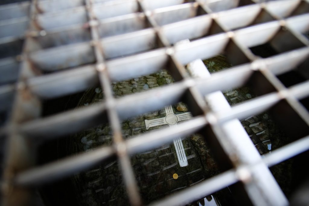
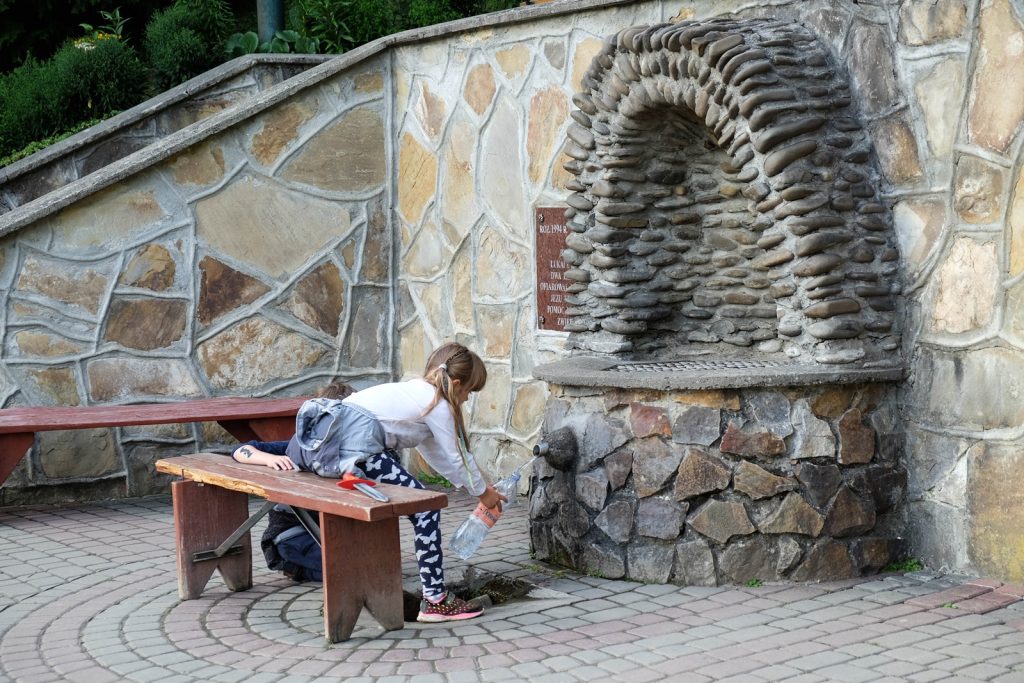
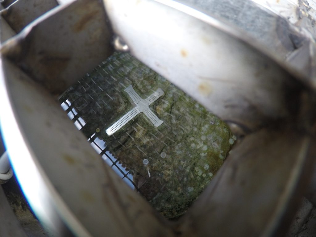
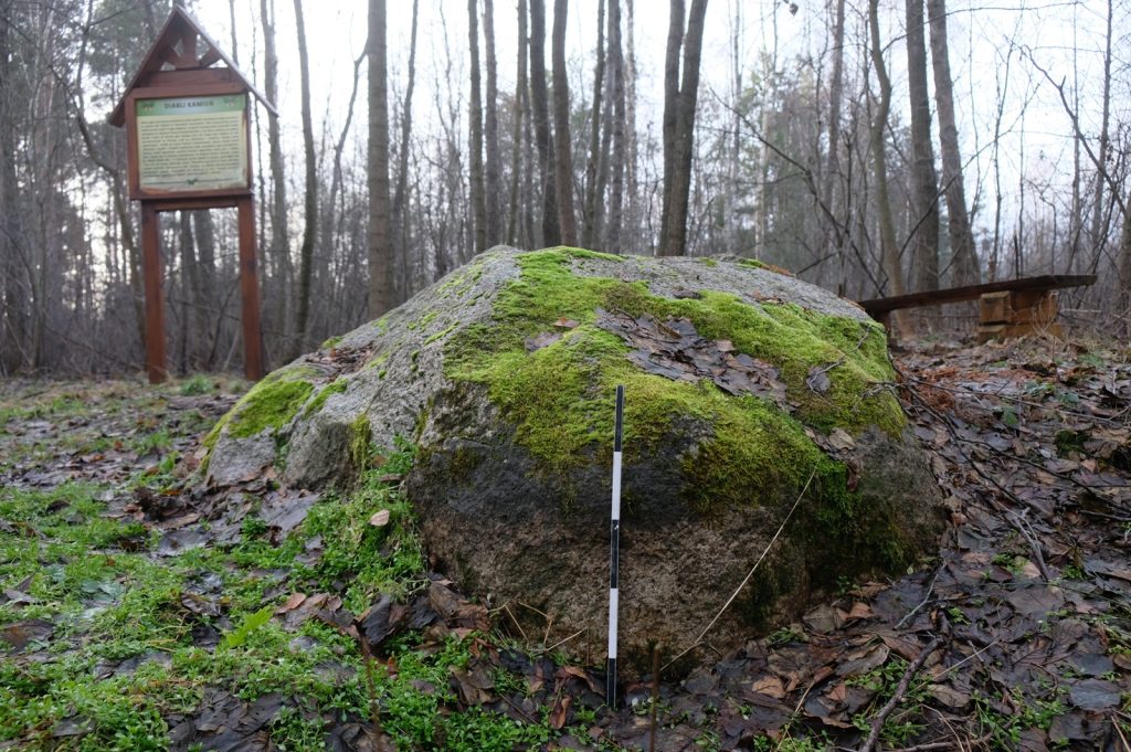
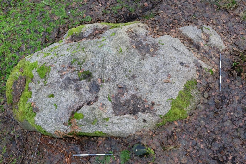
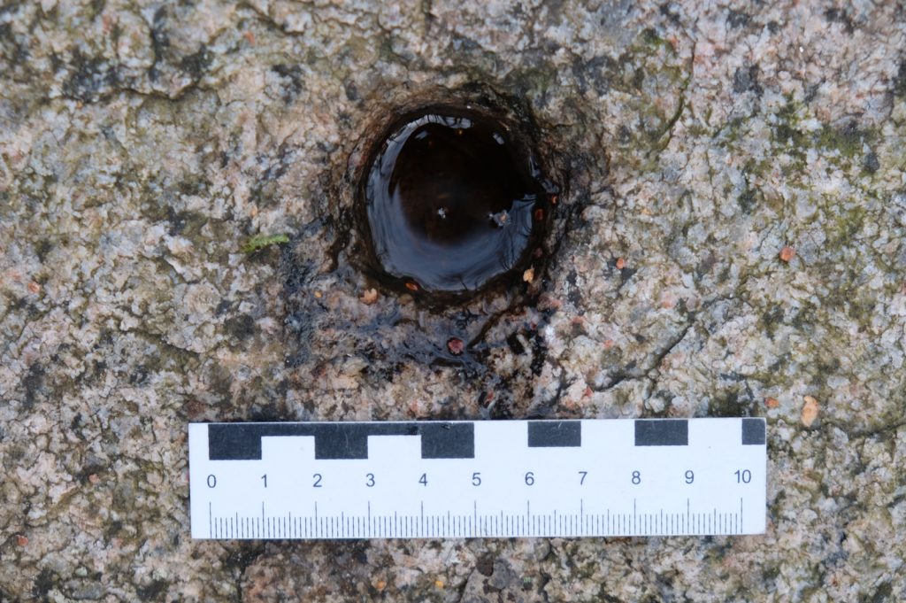
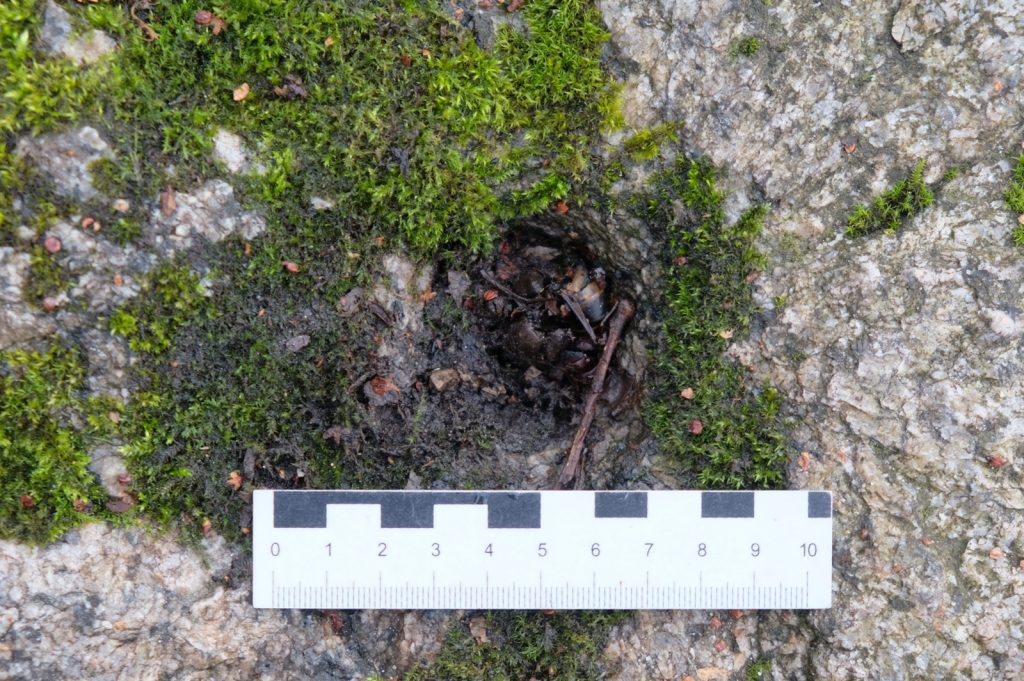
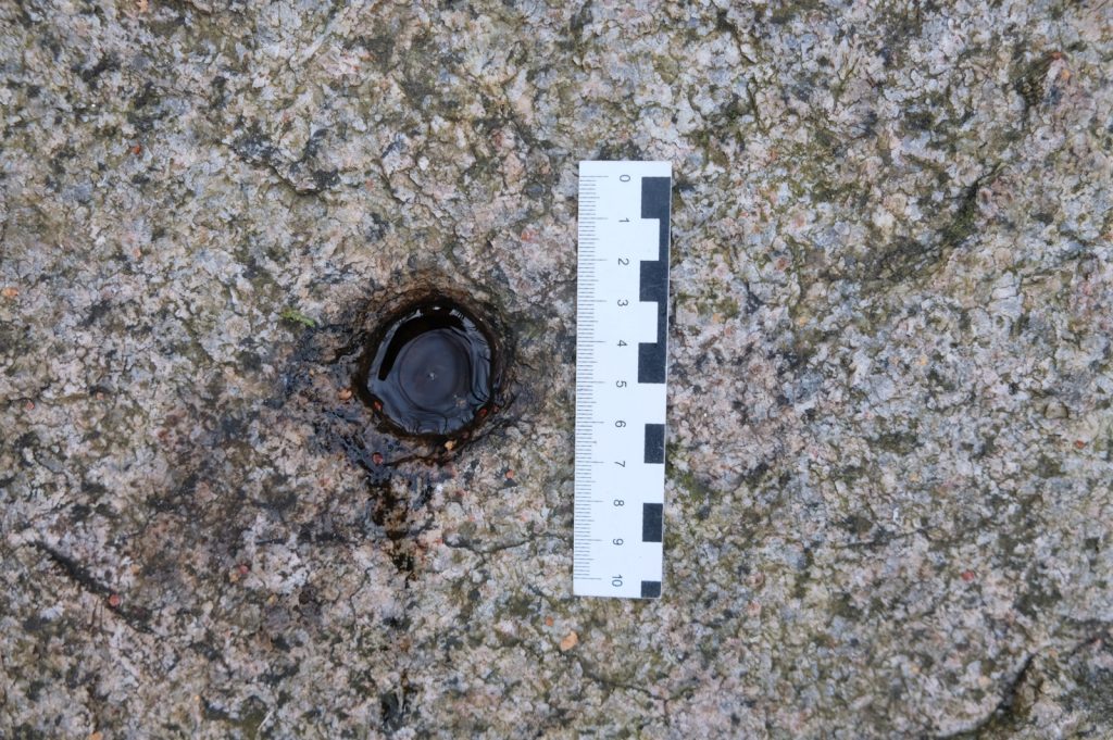
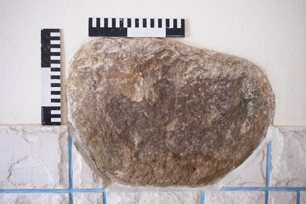
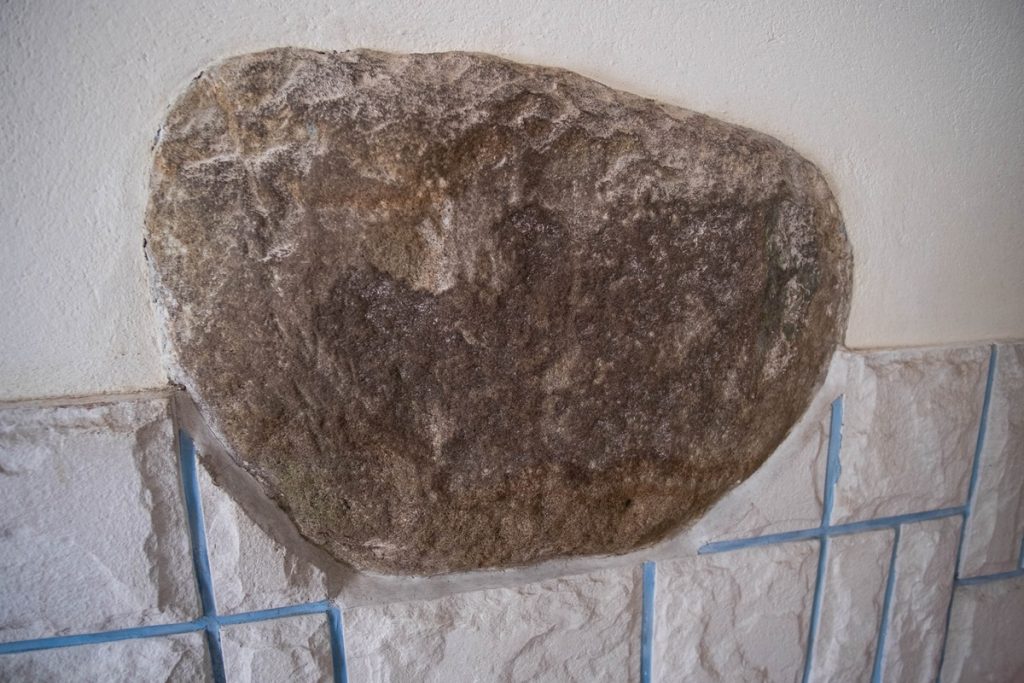
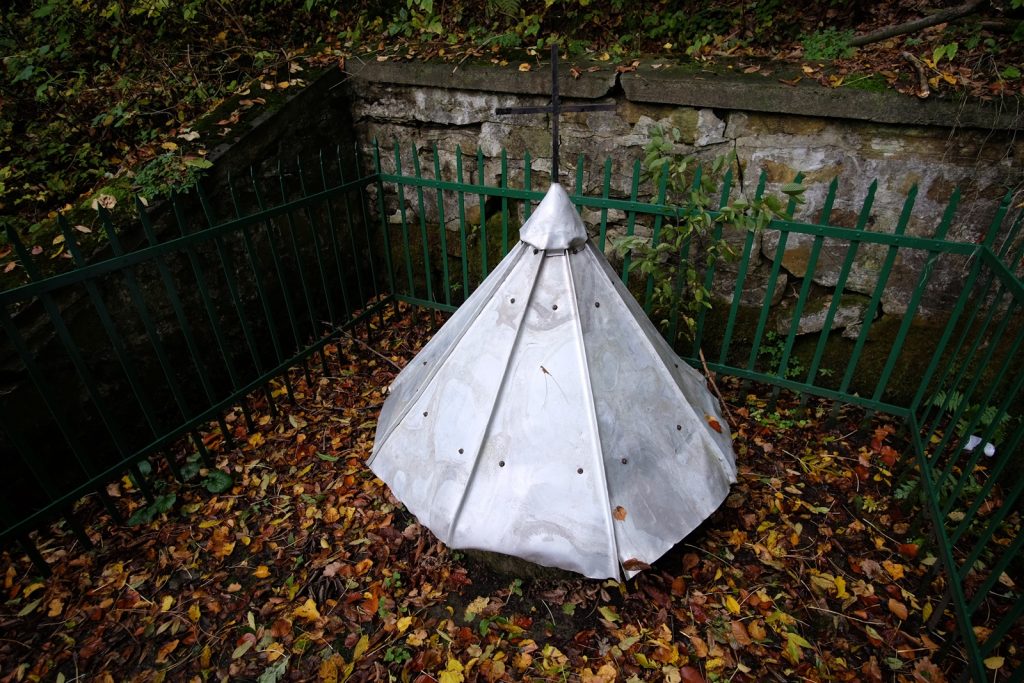
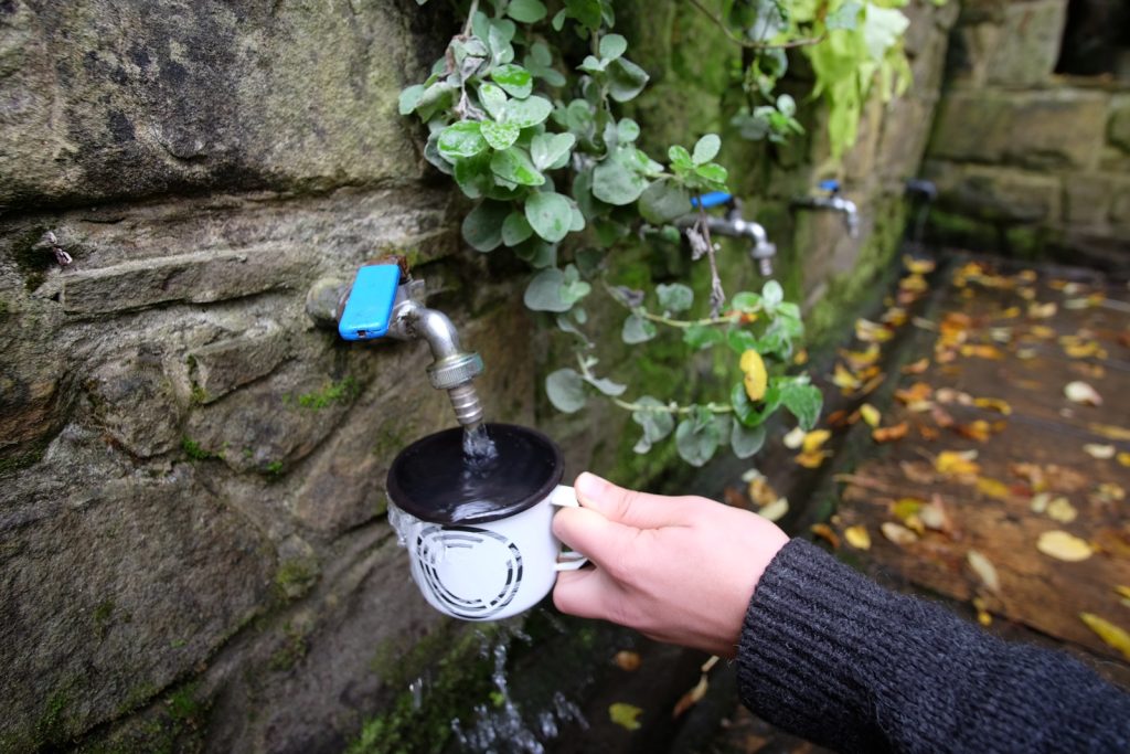
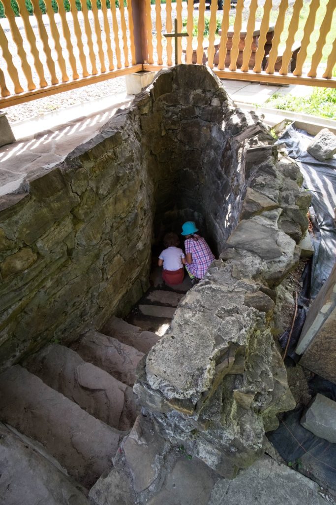
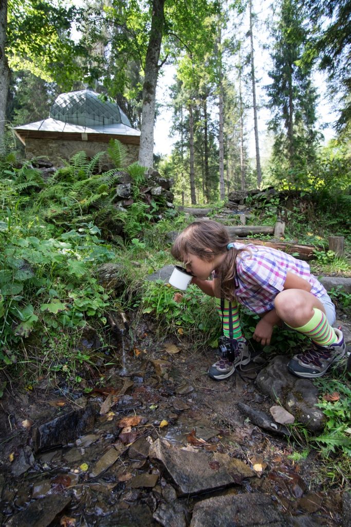
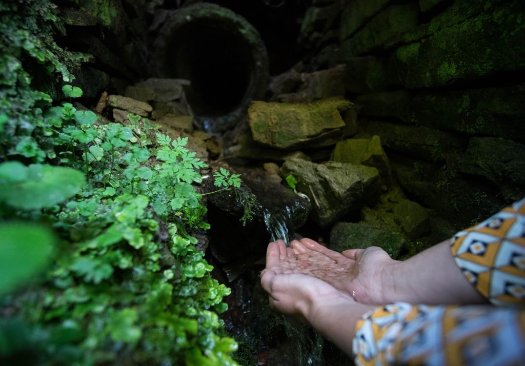
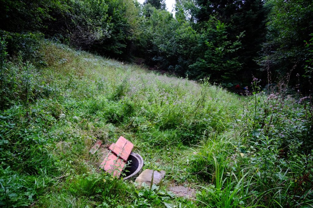
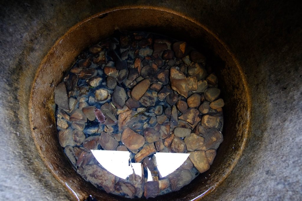
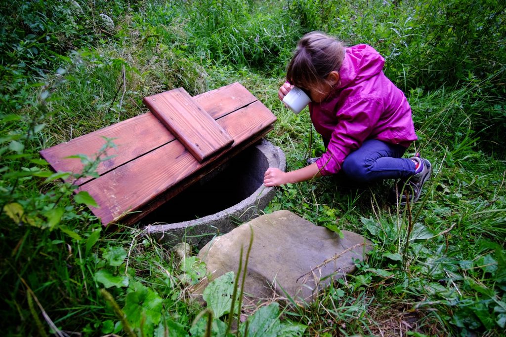
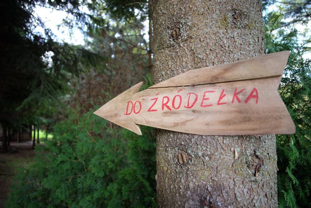
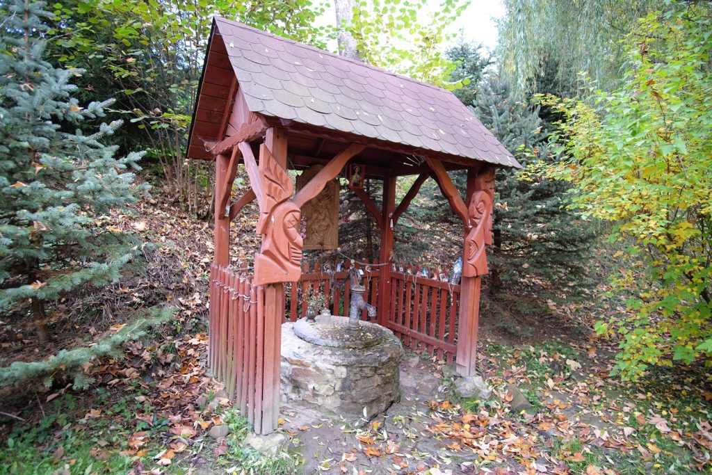
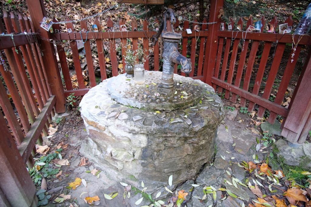
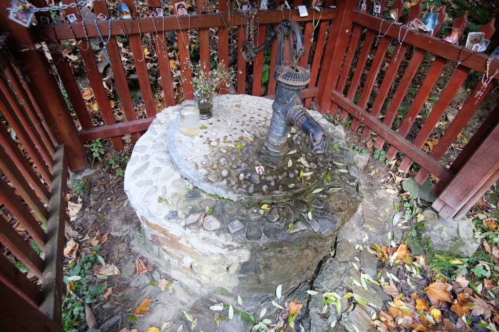
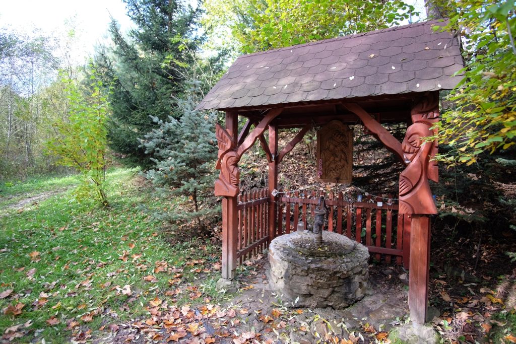
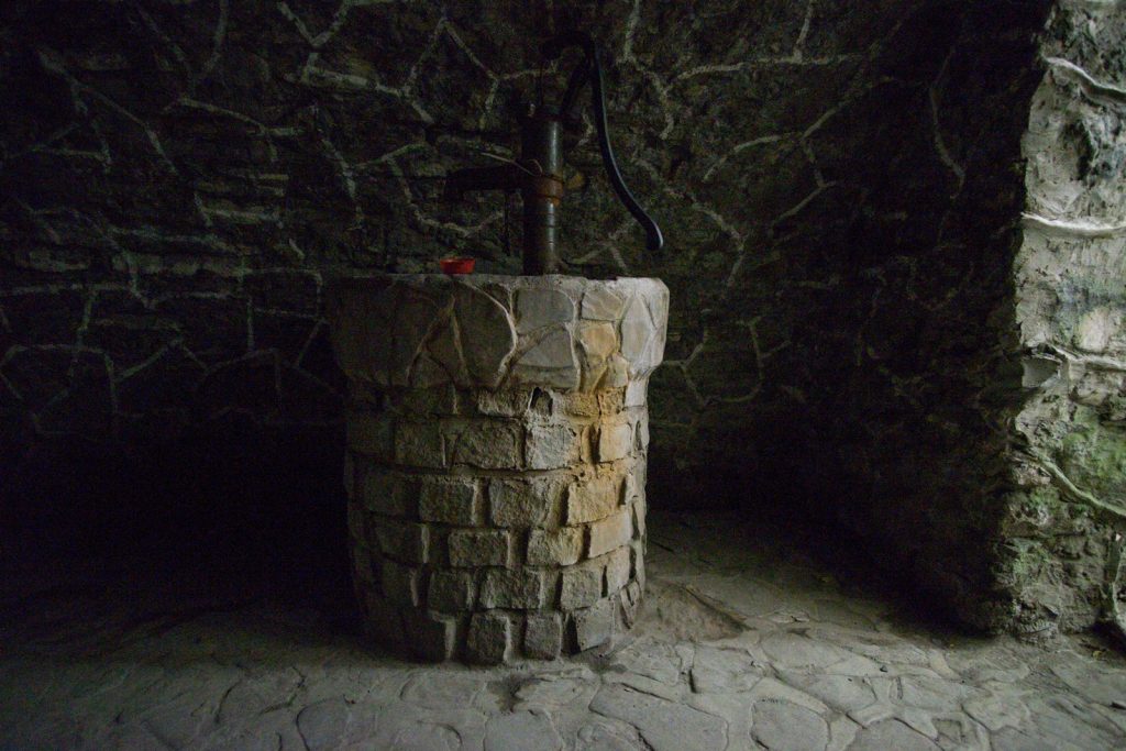
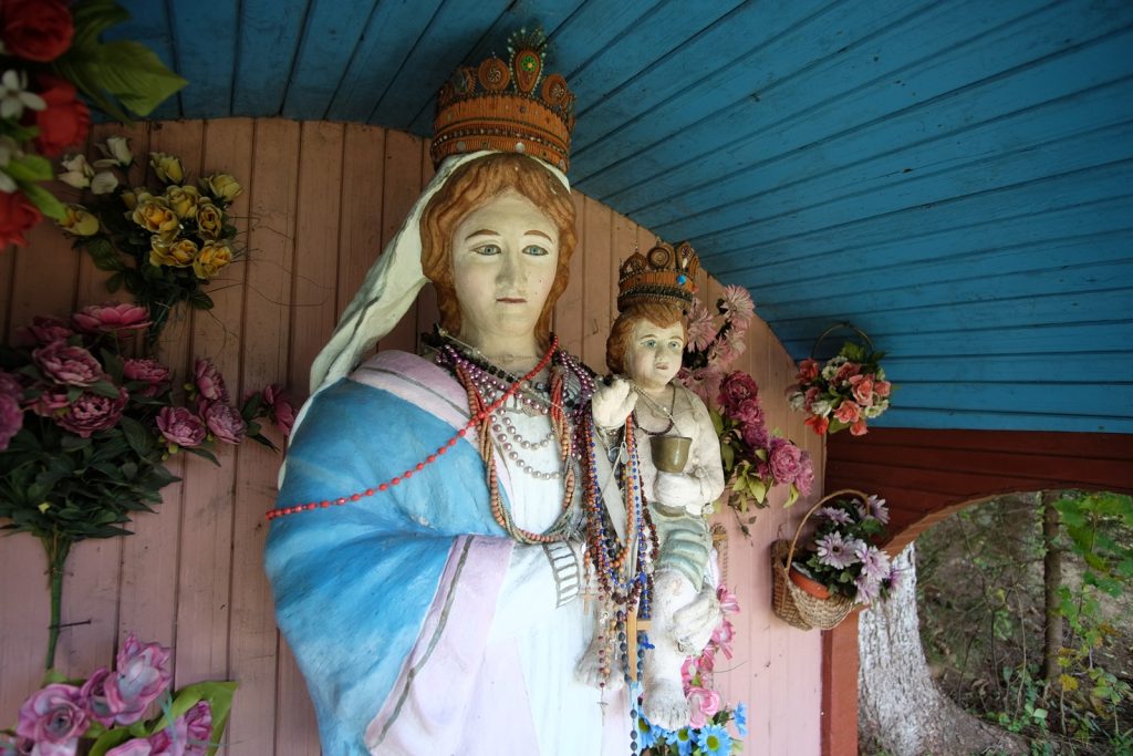
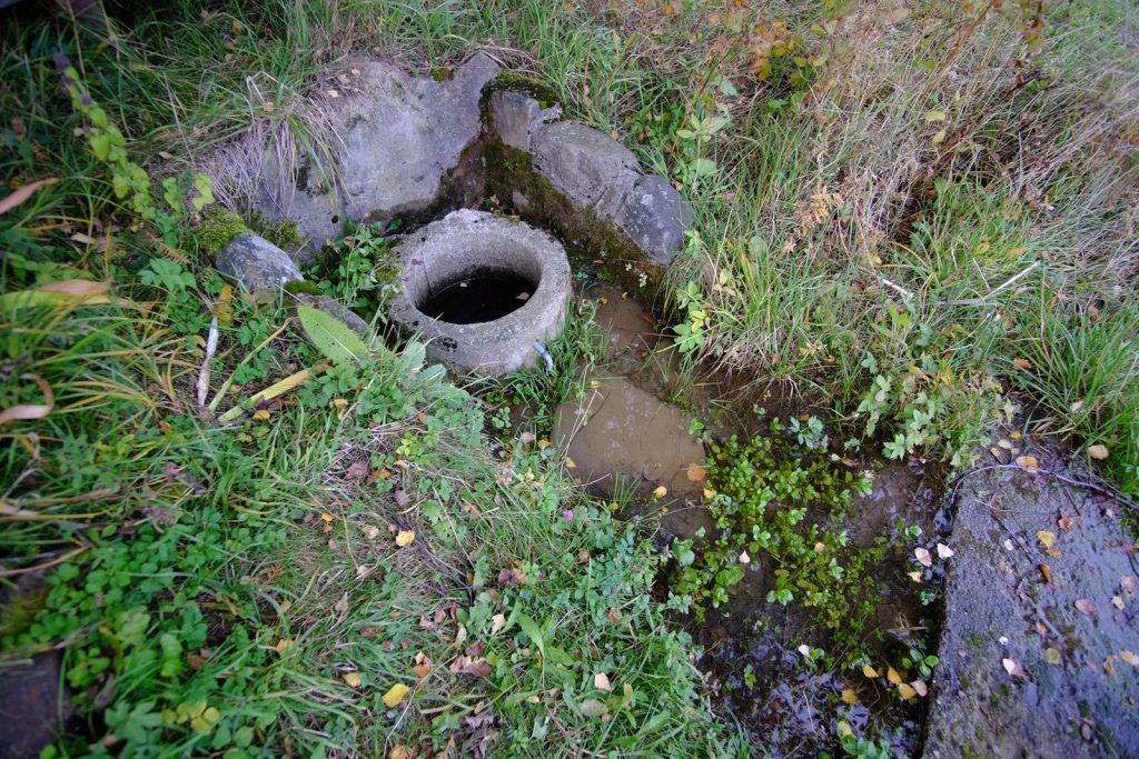
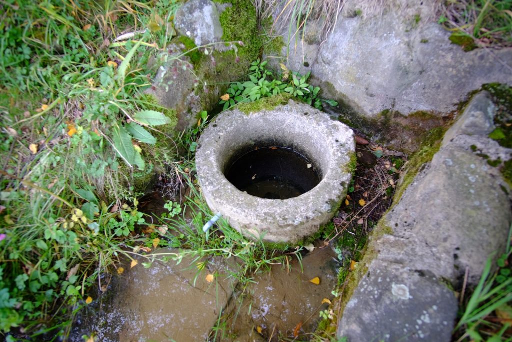
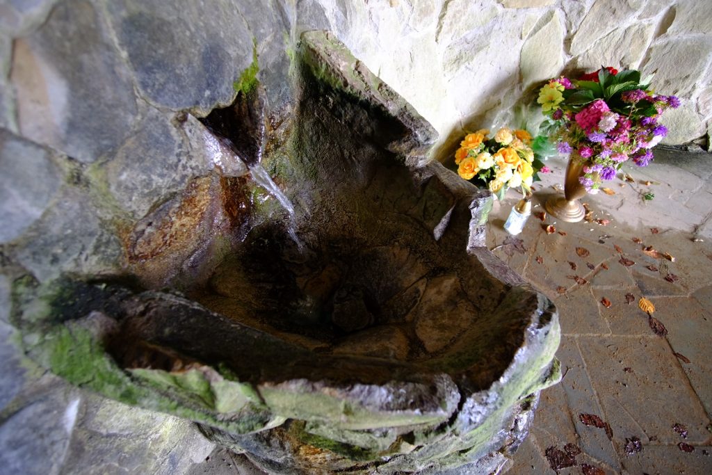
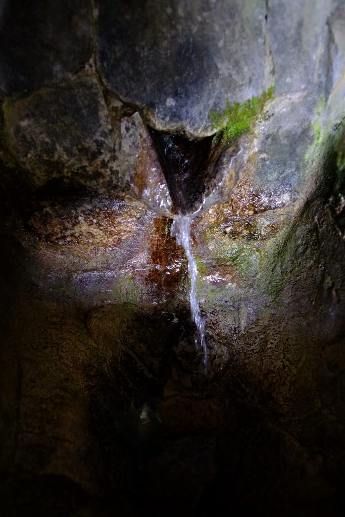
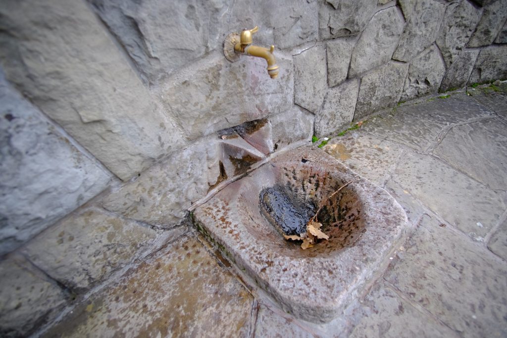
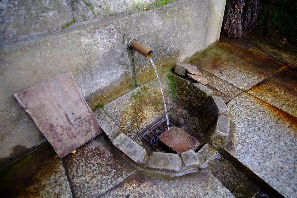
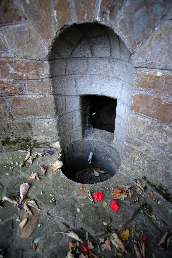
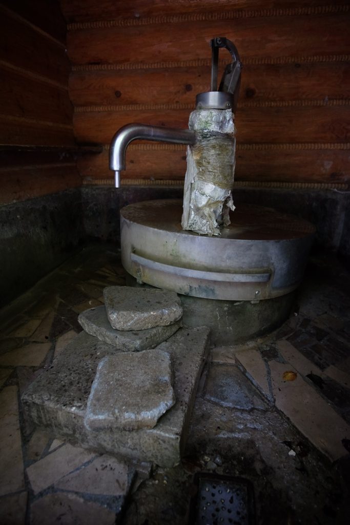
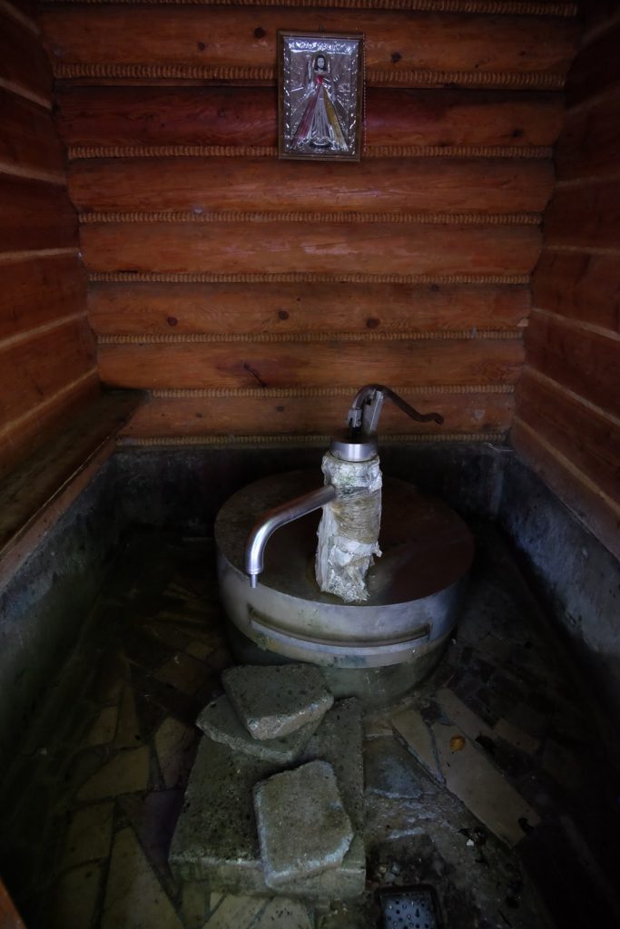
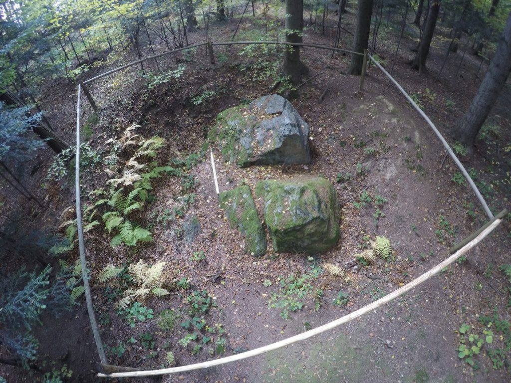
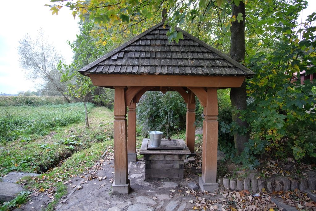
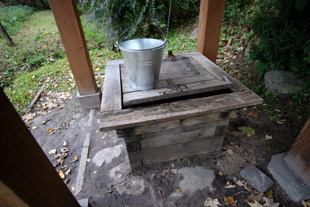
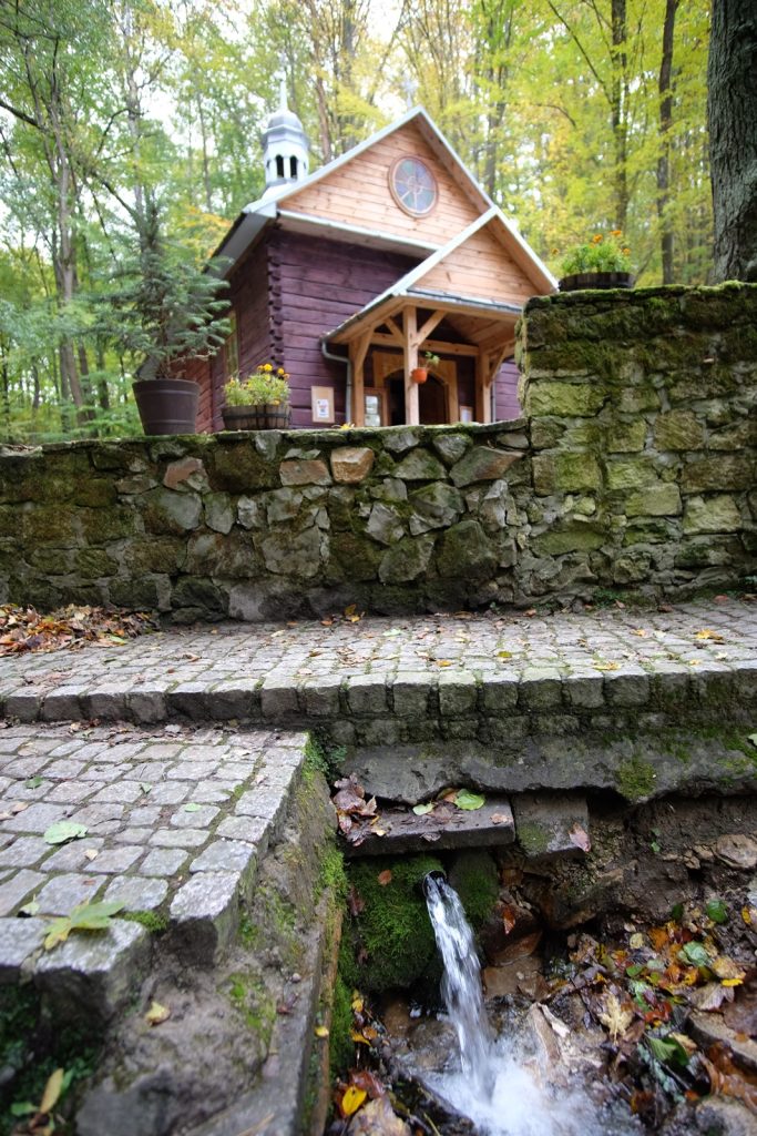
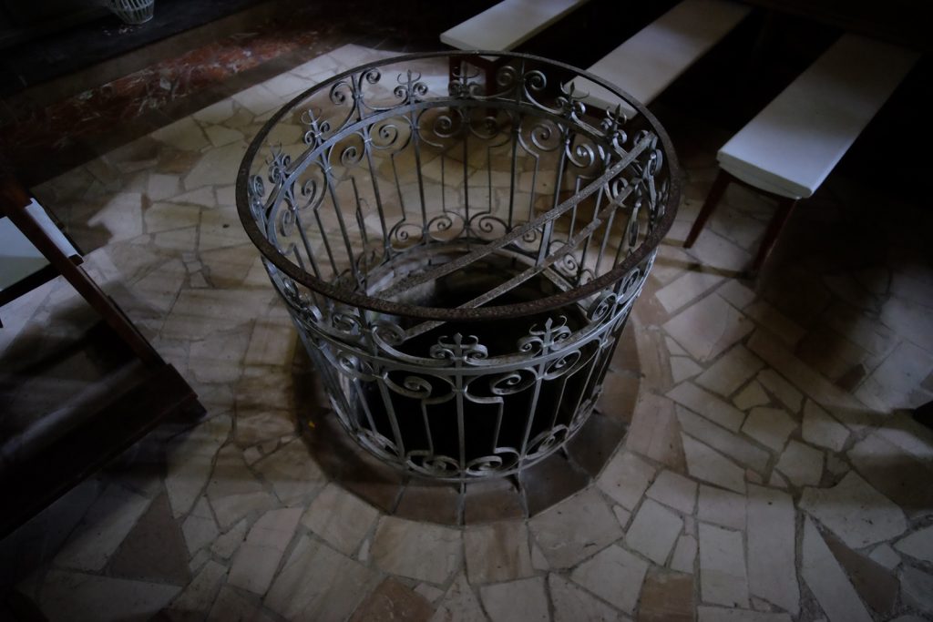
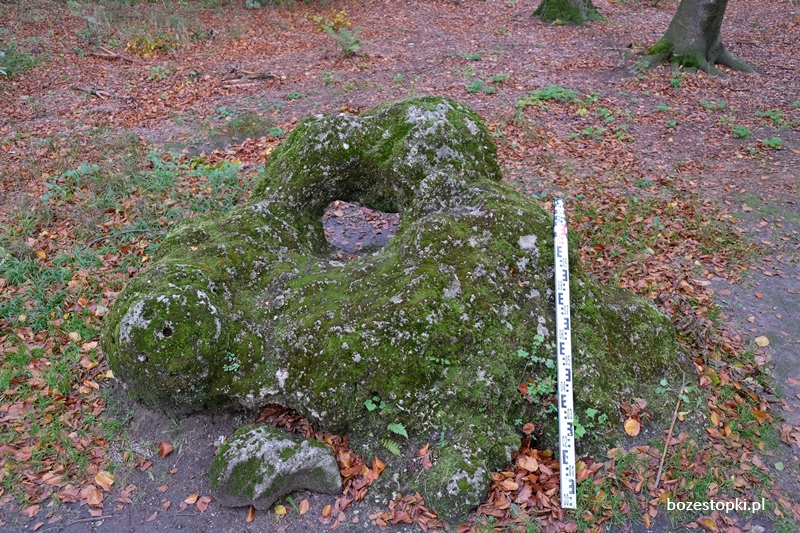
According to legends, an Orthodox church was once thought to have been built at the site. At the time, a 13th-century cross from the city of Limoges, France, was found in a nearby spring, or well. A wooden cross was placed over the well. According to beliefs, water from the spring had the power to heal eyes and miraculously restore sight.

The miraculous spring in Zwierzyn is connected with the history of an unusual find - a richly decorated Limousin cross from the 1st half of the 13th century, made in France in the city of Limoges. Detailed information about the monument was quoted by archaeologist Prof. M. Parczewski in the article "Cross from Zwierzyn", which appeared in the magazine Połoniny in 1989 (M. Parczewski 1989).

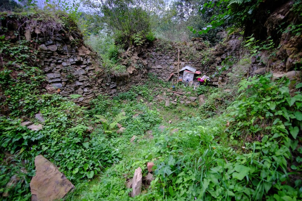
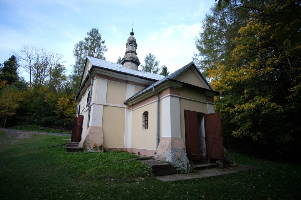
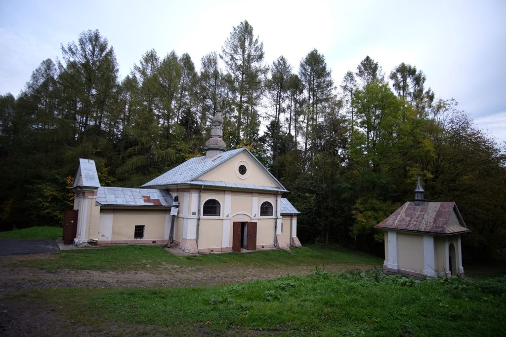
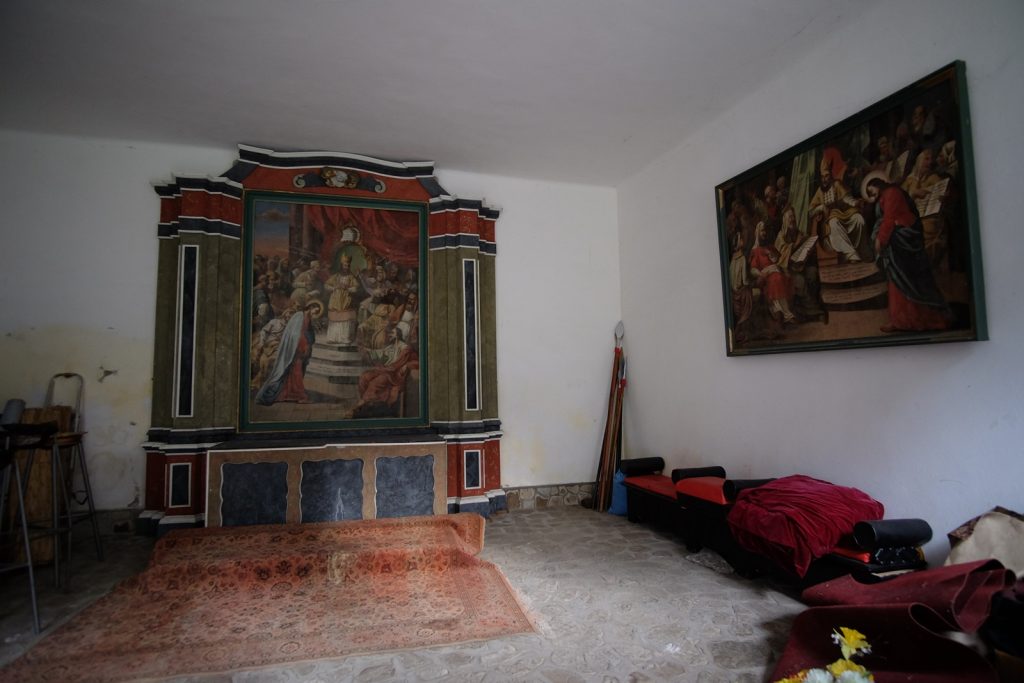
Stored in the Przemyśl Diocesan Museum, the cross was described as early medieval by art historian A. Bochnak as early as 1922 (M. Parczewski 1989, 8). Earlier it was said to have been kept in an Orthodox church in Zwierzyn built in the second half of the 18th century. In 1972, the monument was described by M. Pietrusinskaya as: "enameled processional cross, 1st half of the 13th century Wood, gilded copper sheet, with grooved enamel and engravings, figural elements partially repoussed; dimensions: 28.7 x 22 cm (...)." (description after M. Parczewski 1989, 7).

M. Parczewski linked the information about the monument, which is in the collection of the Diocesan Museum in Przemyśl, to a legend recorded in the second half of the 19th century by ethnographer Oskar Kolberg, telling about the circumstances of the miraculous spring in Zwierzyn on the San River (M. Parczewski 1989, 9; O. Kolberg 1973, 80).

Oskar Kolberg cites the following entry about the village of Zwierzyn:

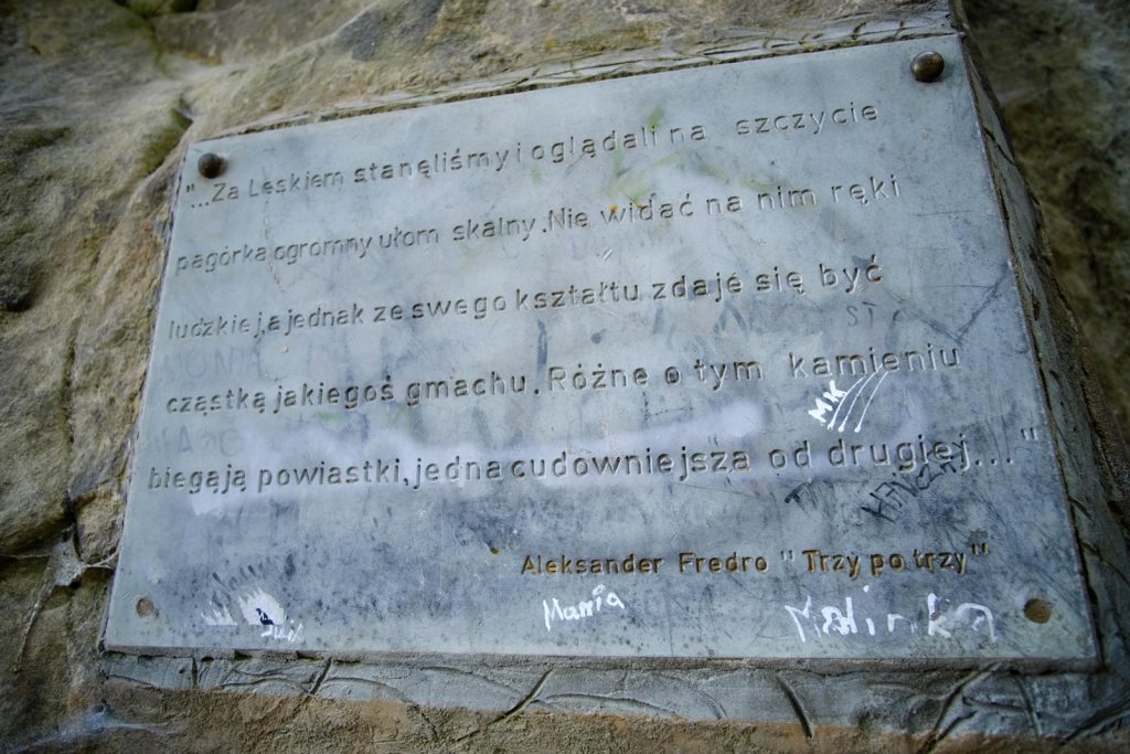
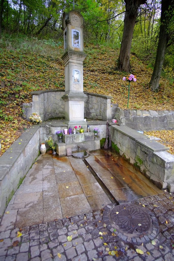
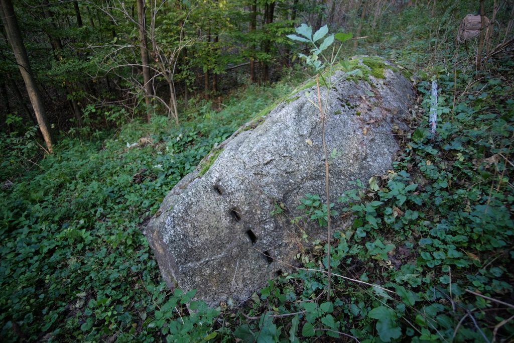
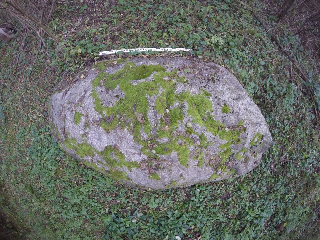
There is a legend of a miraculous cross, miraculous water, etc. When the stones were brought down for the construction of the house of God, it was noticed that what was brought down during the day was lost somewhere during the night. They got hooked and became convinced that some saints were dismantling and hauling away these stones. Then a well was dug there. The woman wanted to catch the cross she saw in the water; when she reached for it with her hand, the cross receded into the depths; soon she saw it rise again; she reached again but again it removed itself, and so for the third time. Only when she remembered that it was not right to reach for it with her bare hand did she take off her handkerchief from her head and grasped the cross through the handkerchief; then she saw it rise out of the water. This cross, about a foot high, is still in the church. One of the Uniate priests (30 years ago) had a larger cross erected in this well, which stands over it. He claims that God appeared to him in a dream and had the same cross erected. Sick people use the water from this well for blindness or eye diseases (O. Kolberg 1973, 80).

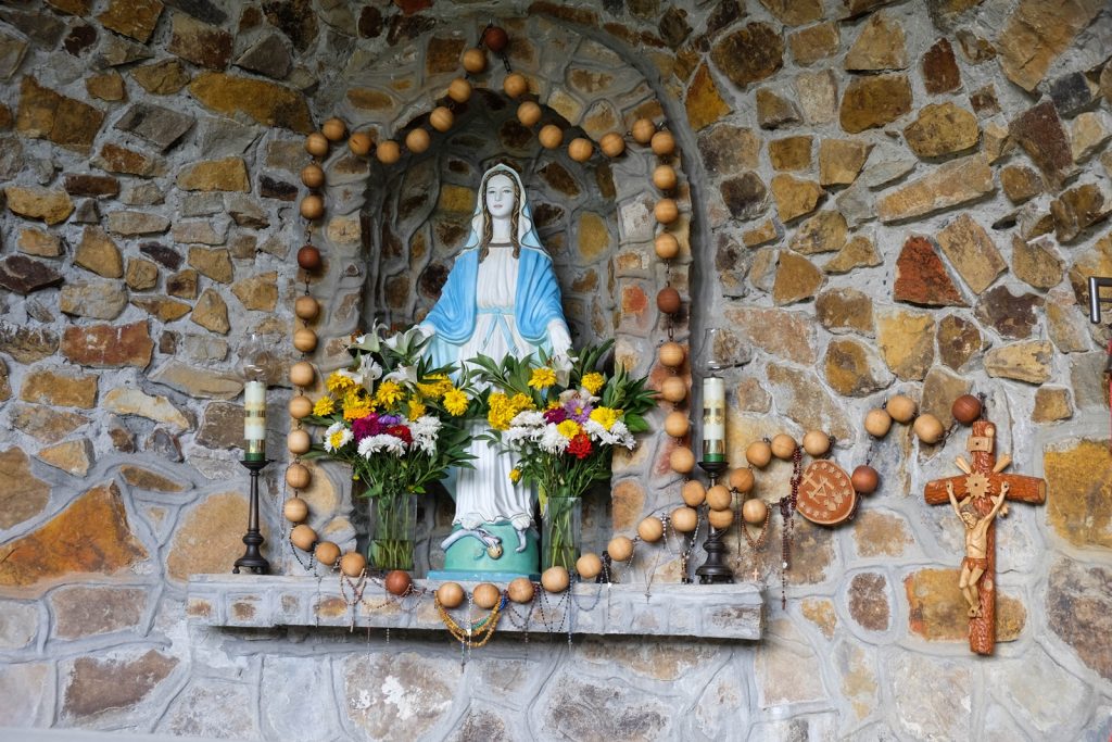
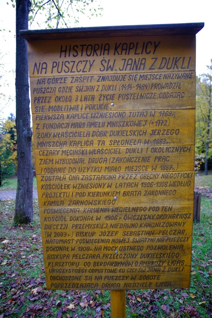
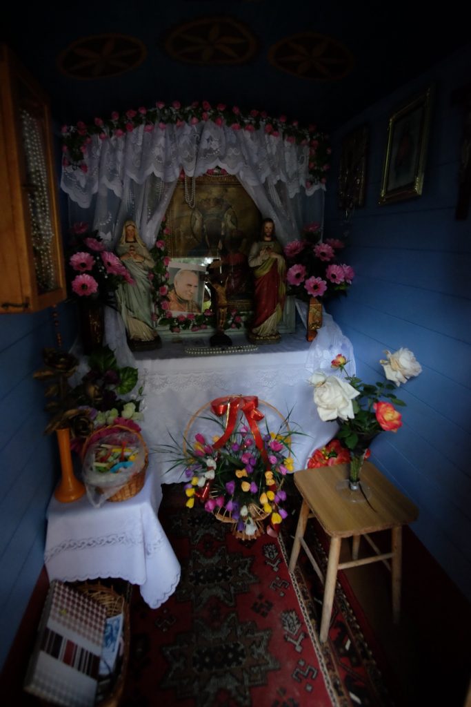
Among the local population, M. Parczewski noted the same tradition as cited a century earlier by O. Kolberg. Before World War II, every year on September 27 (the Feast of the Exaltation of the Holy Cross), hundreds of believers would gather at this place, and the consecration of water was performed. The cross-relic was then shown to the faithful. It is possible that the name of the village Zwierzyn (Zwizenye) comes from the feast of the "Elevation of the Holy Cross" as noted by O. Kolberg. According to M. Parczewski, in that case, the discovery of the cross and the beginnings of the cult of the place would have to have occurred before 1580, when the village is first mentioned in the sources (M. Parczewski 1989, 11).

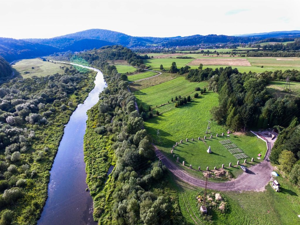
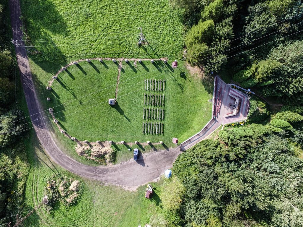
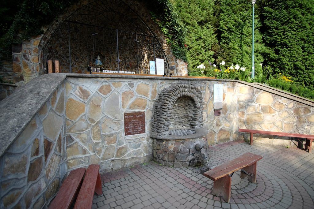
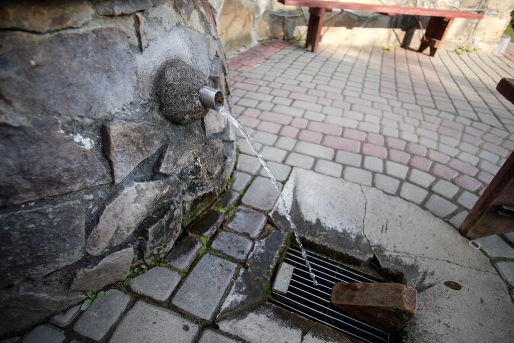
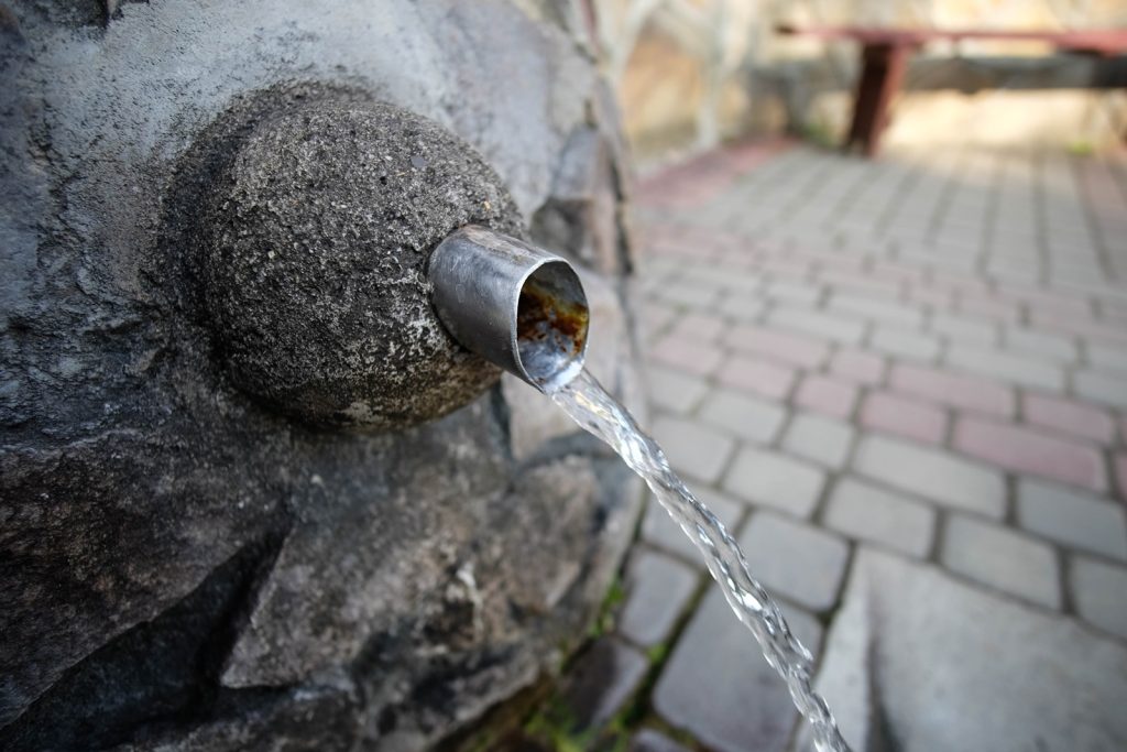
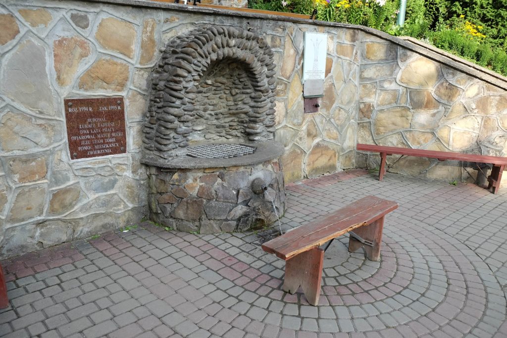
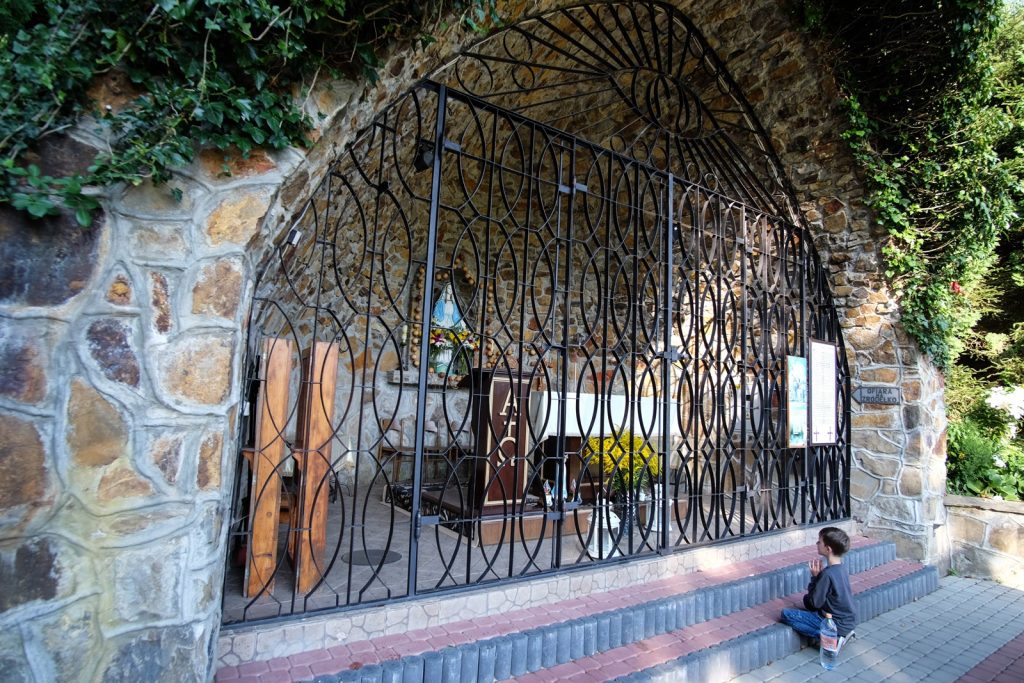
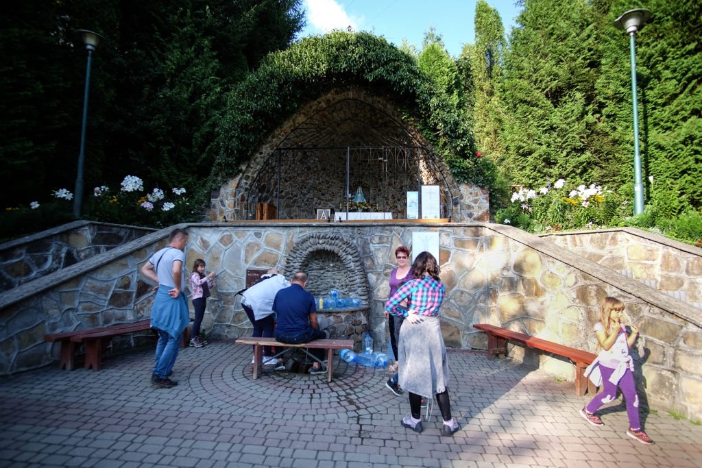
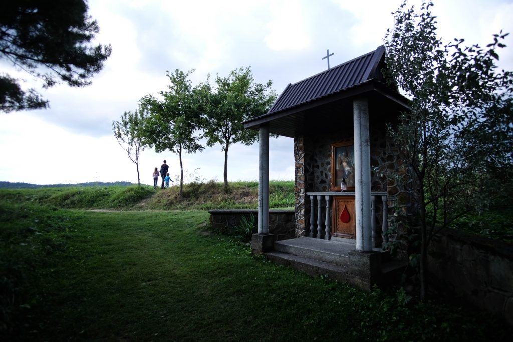
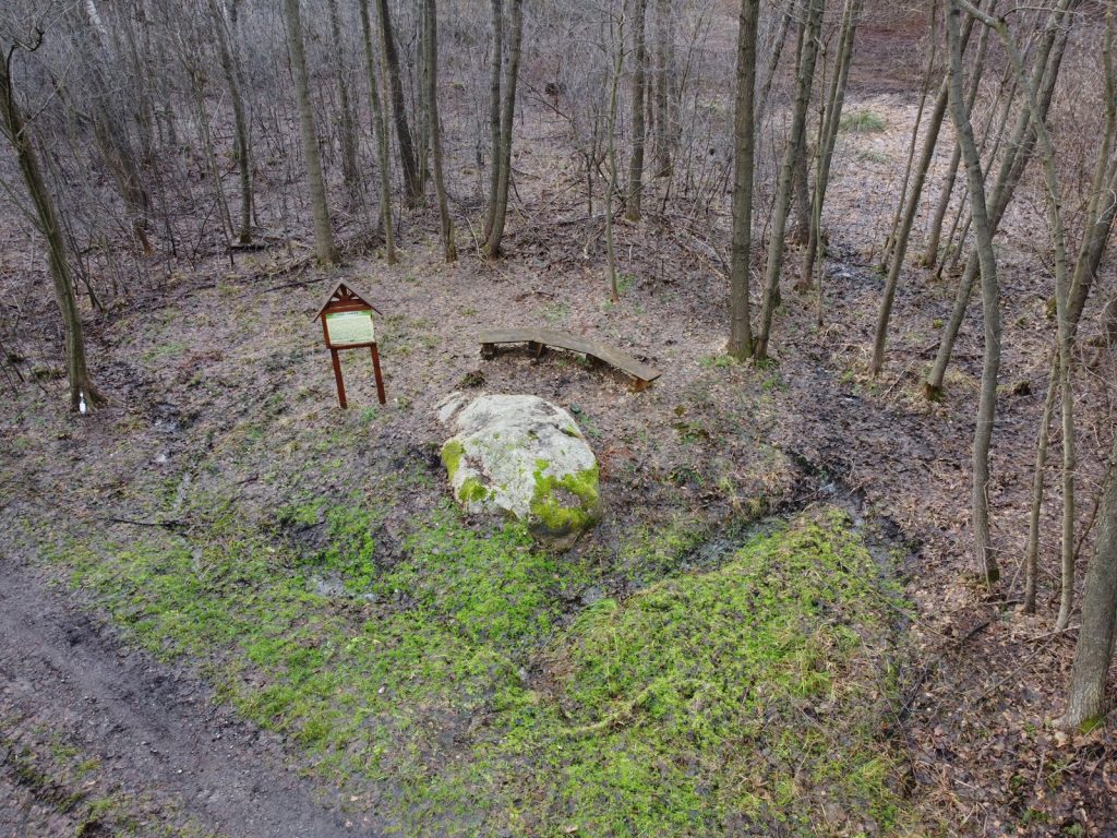
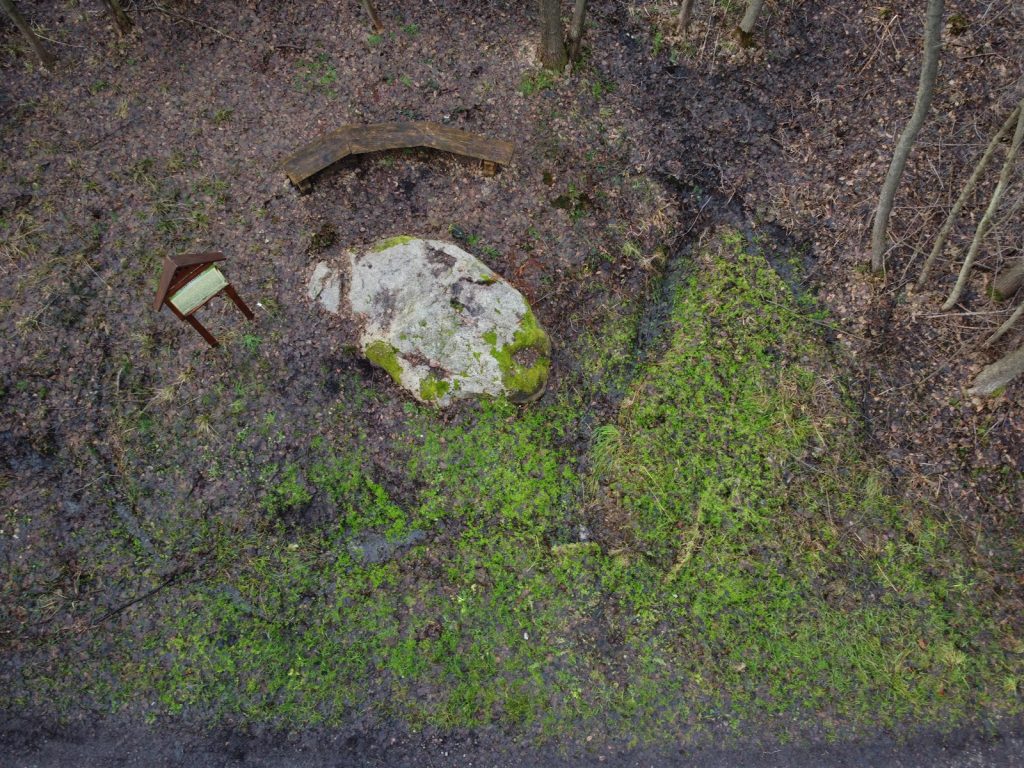
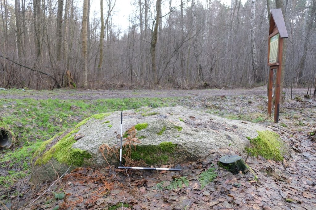
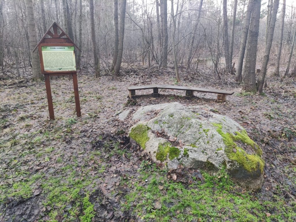
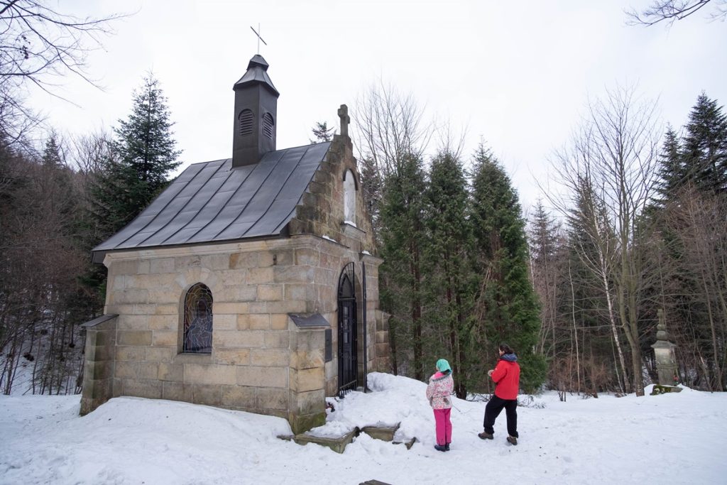
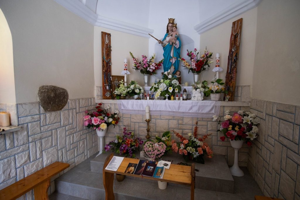
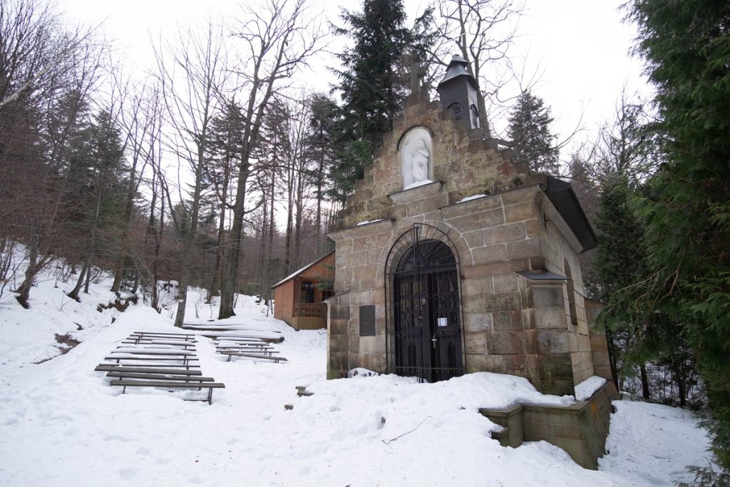
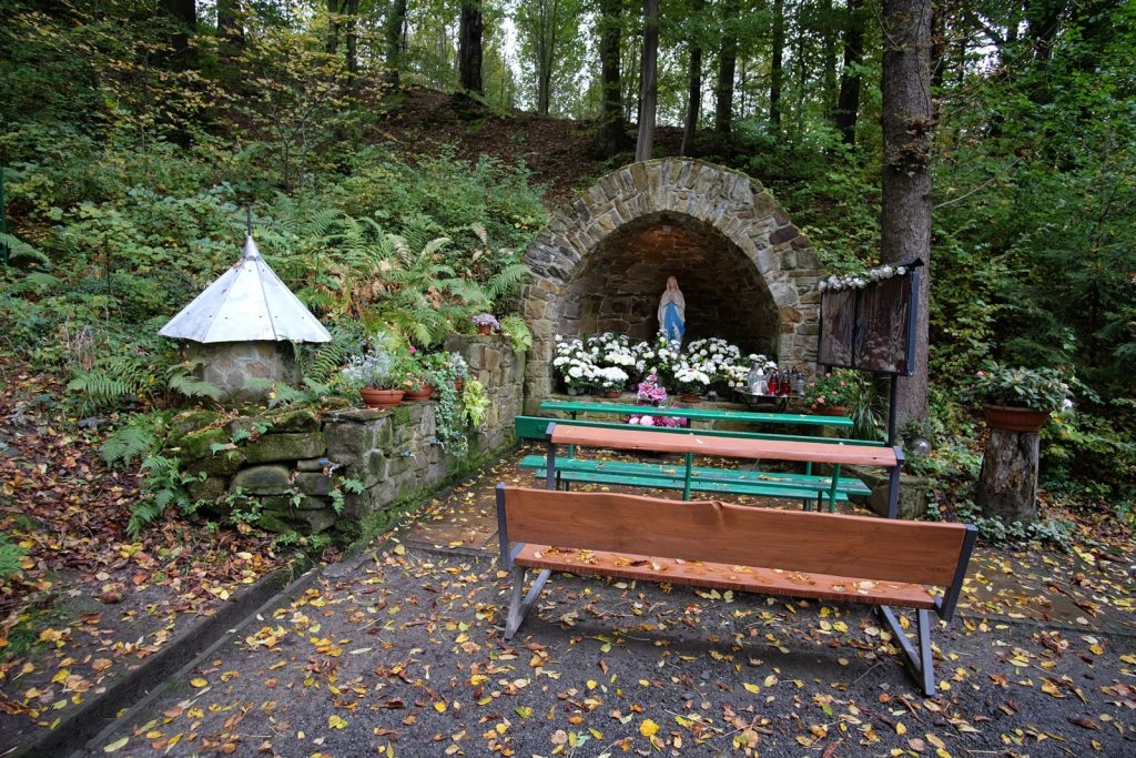
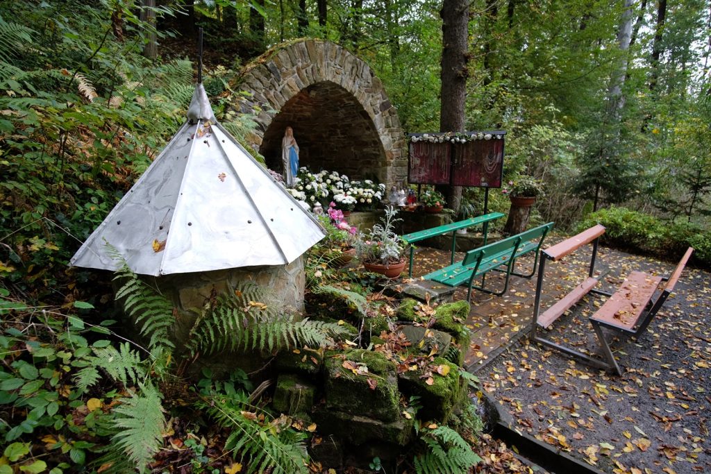
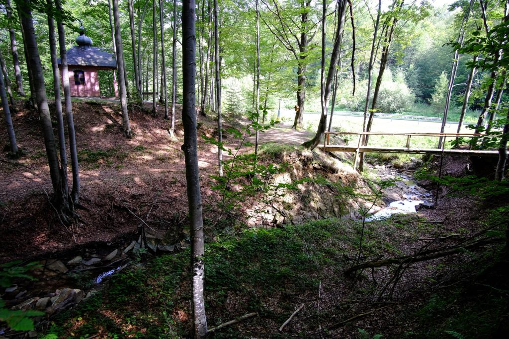
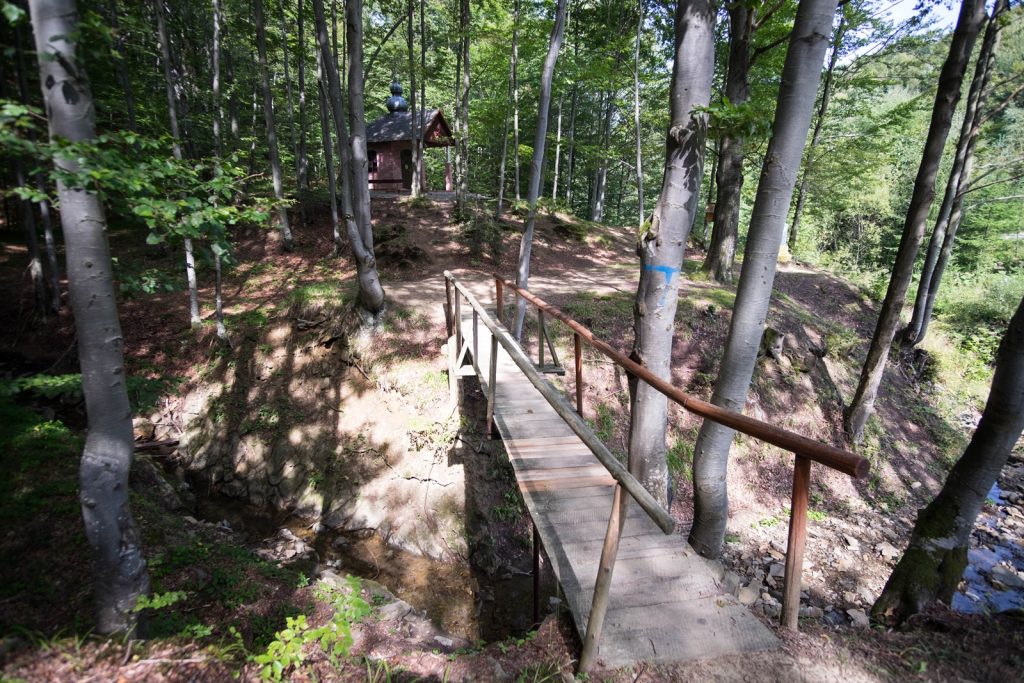
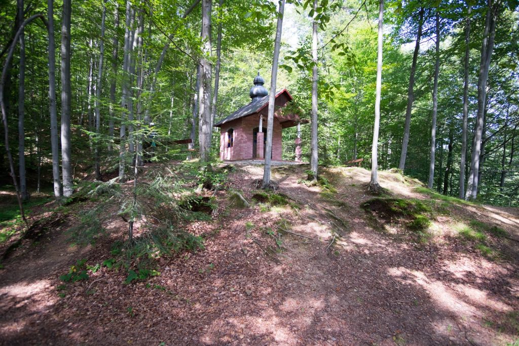
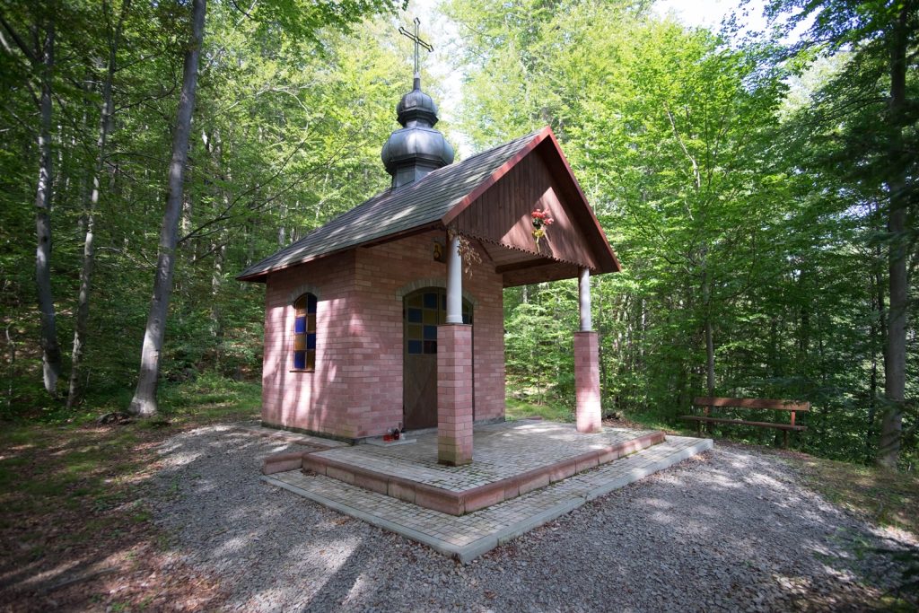
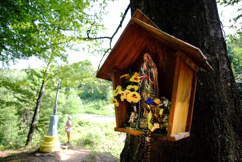
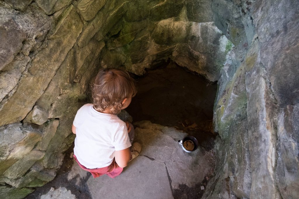
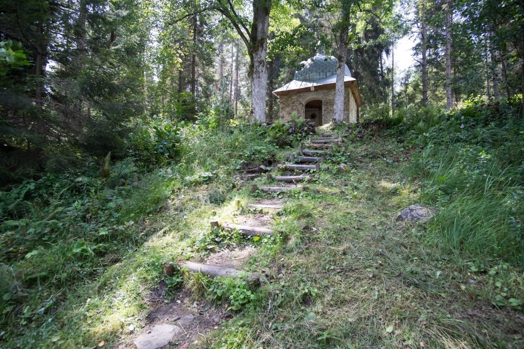
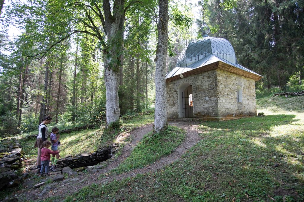
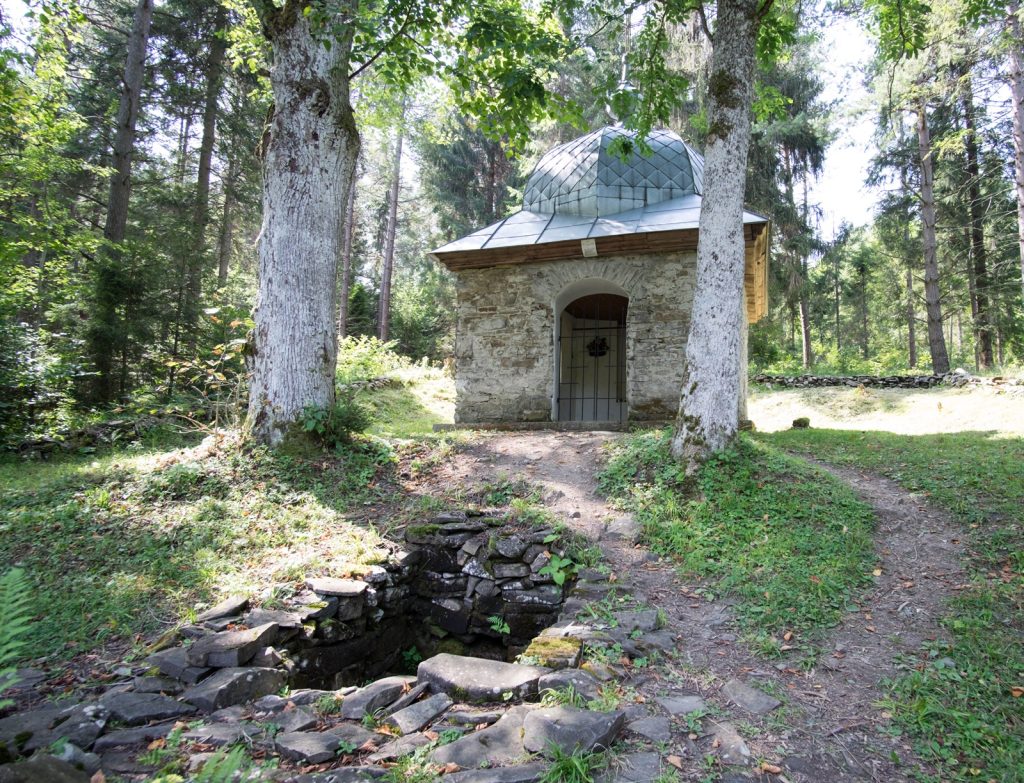
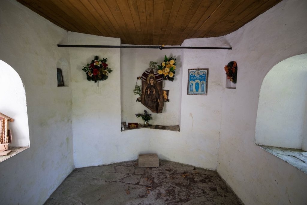
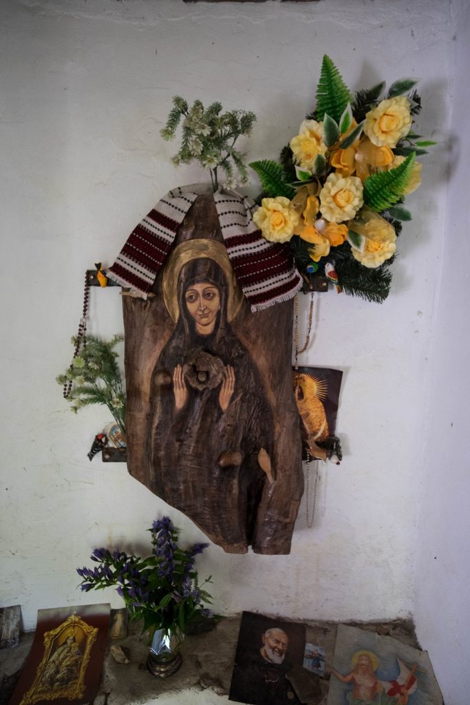
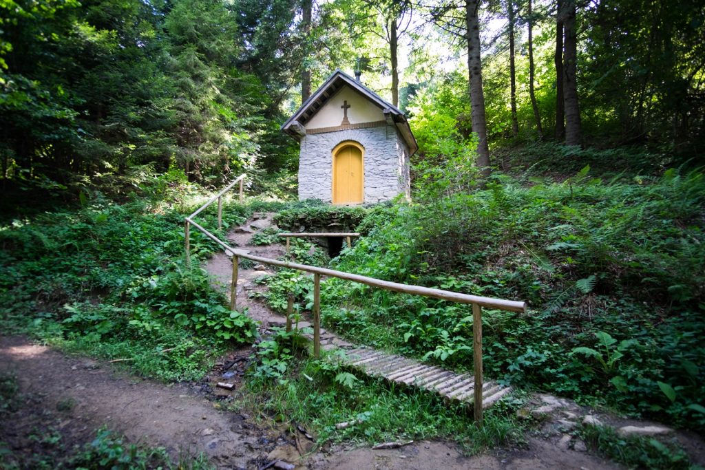
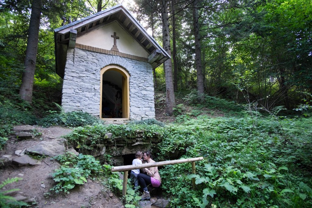
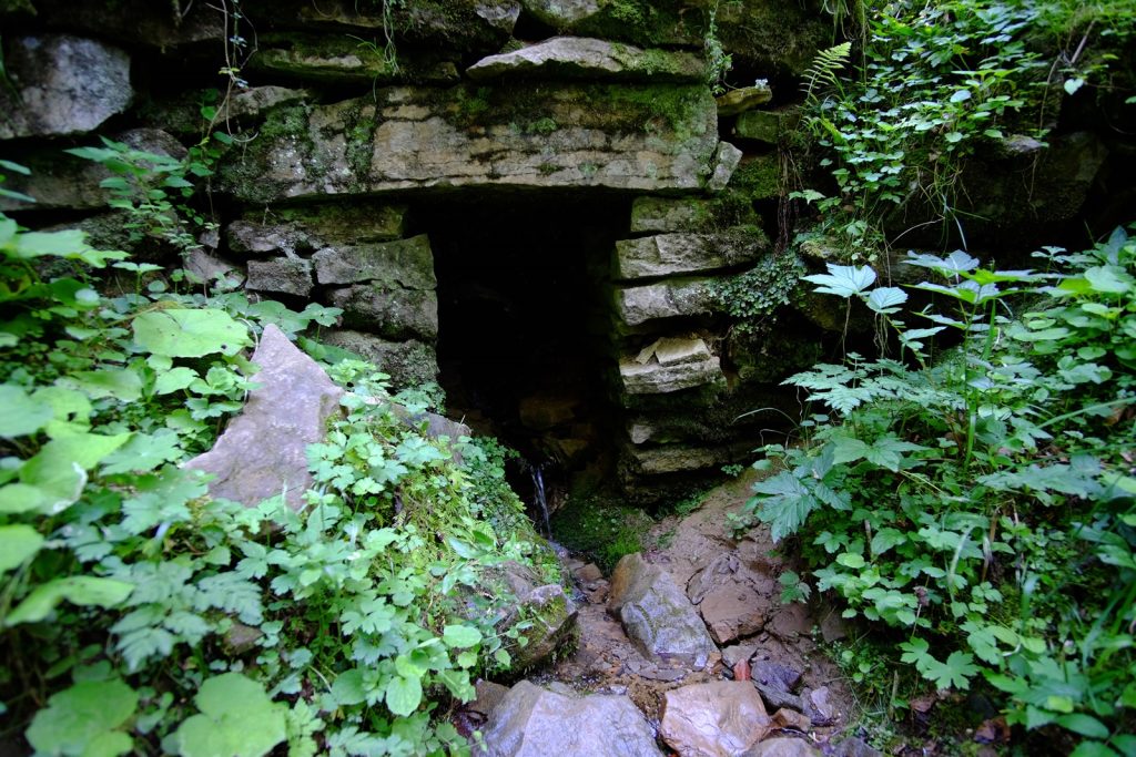
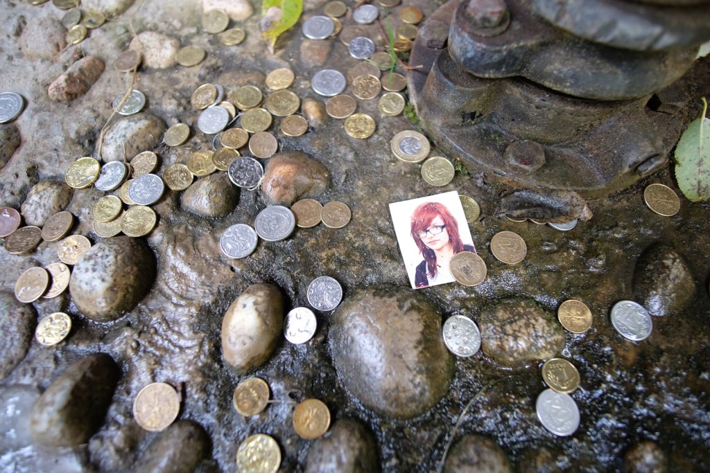
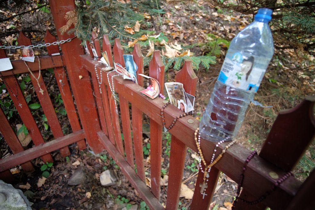
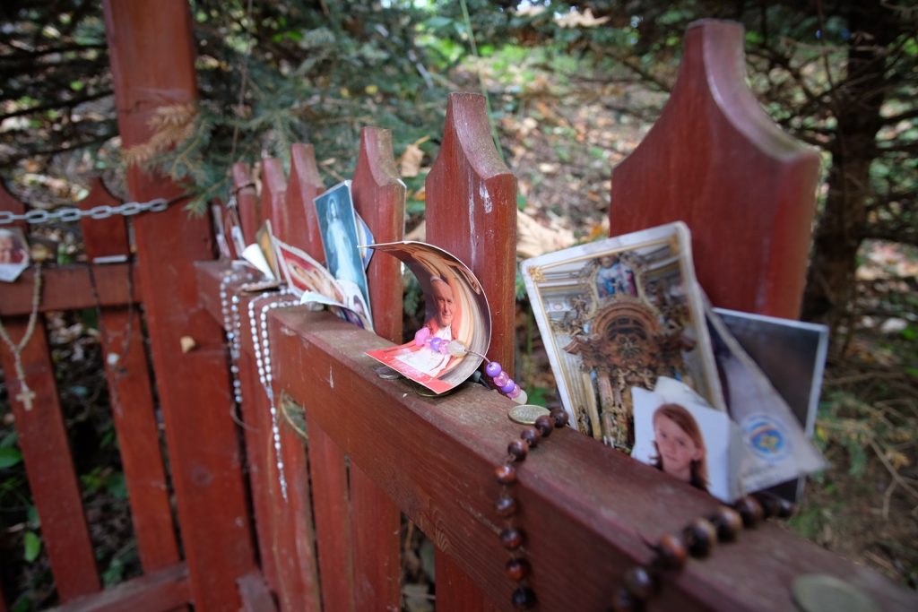
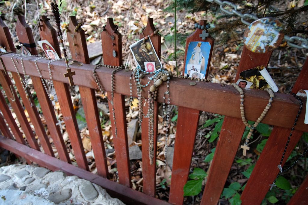
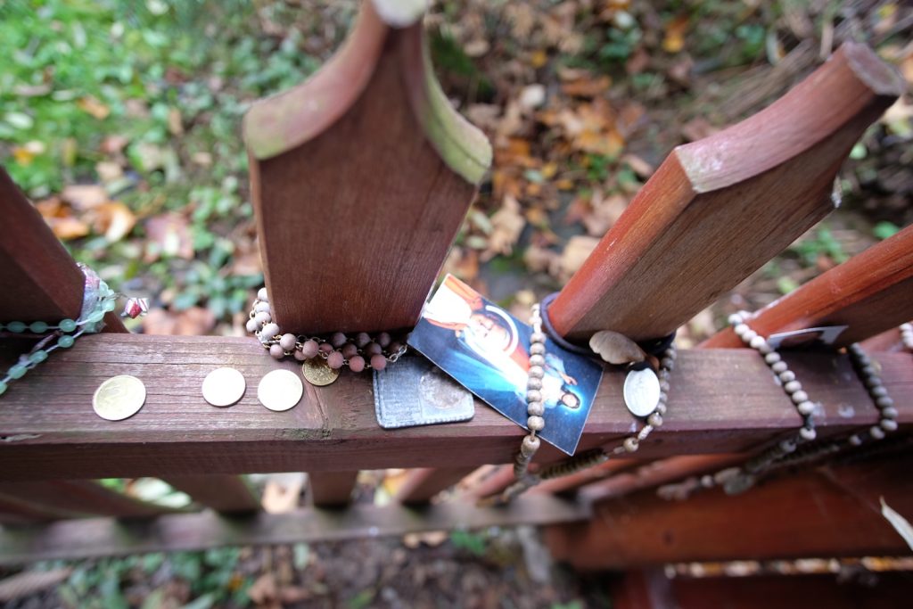
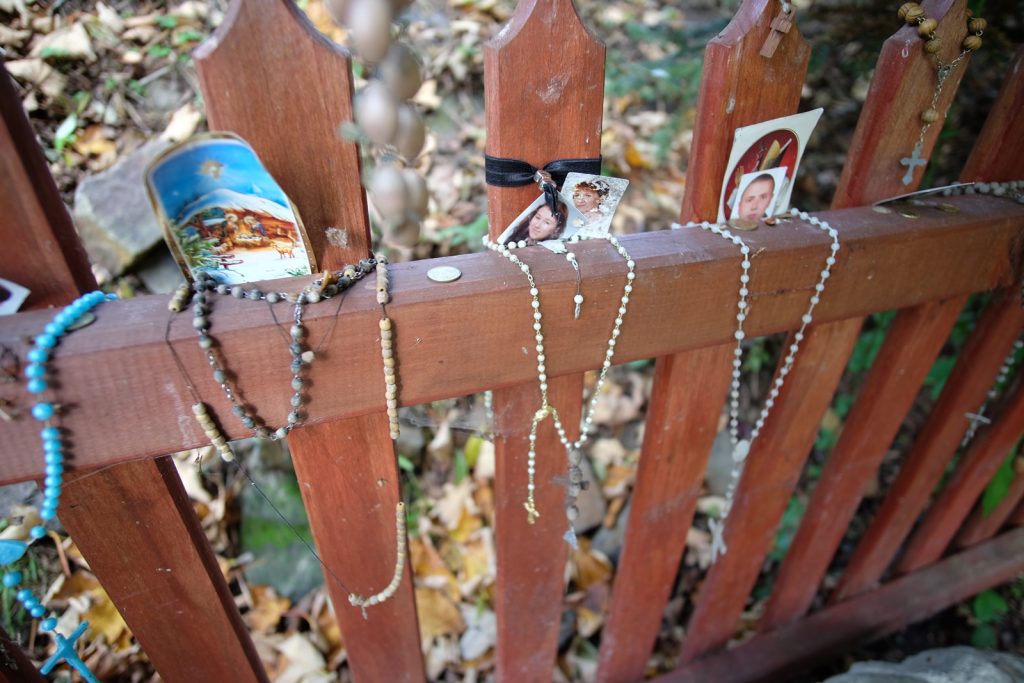
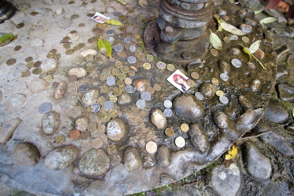
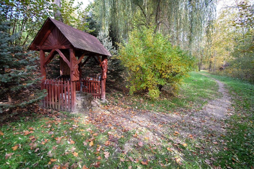
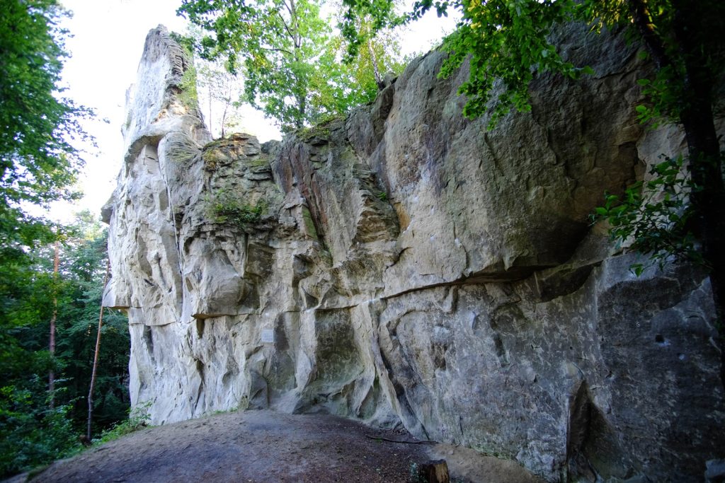
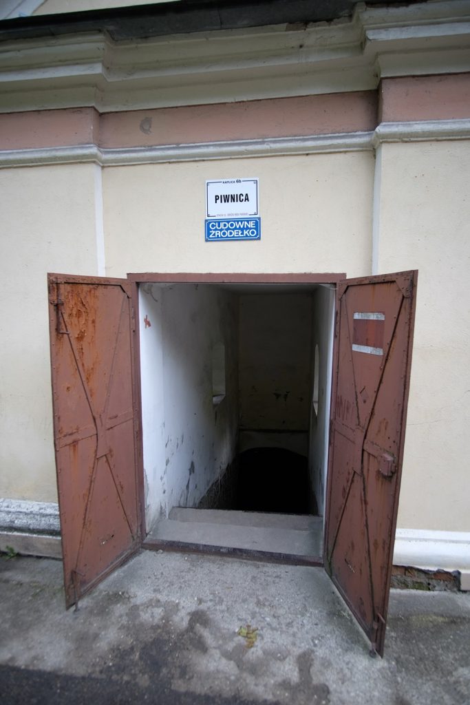
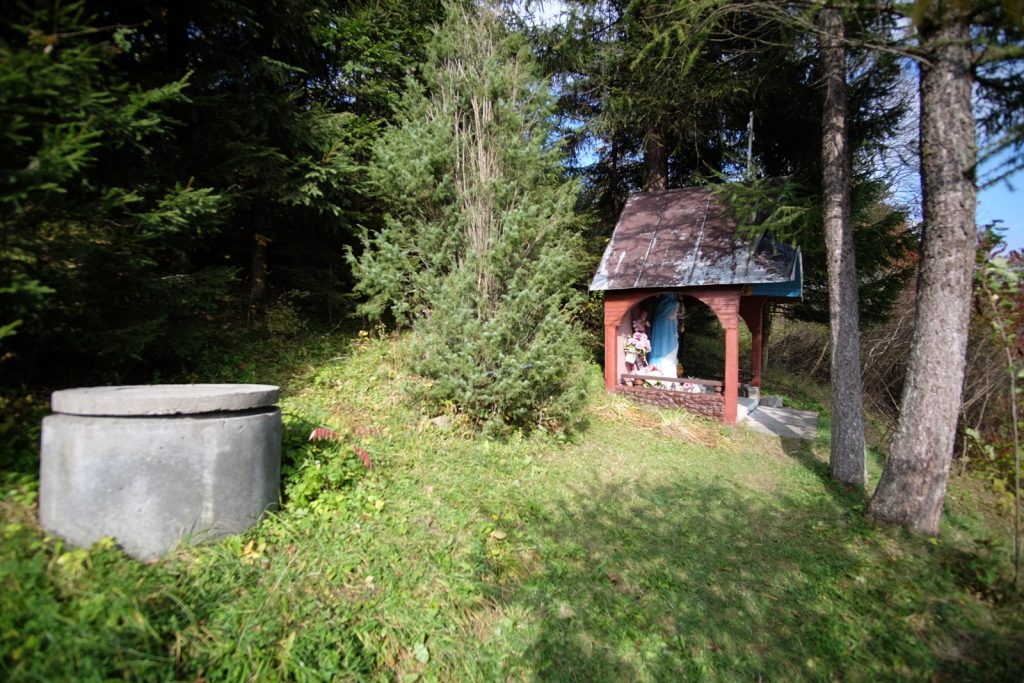
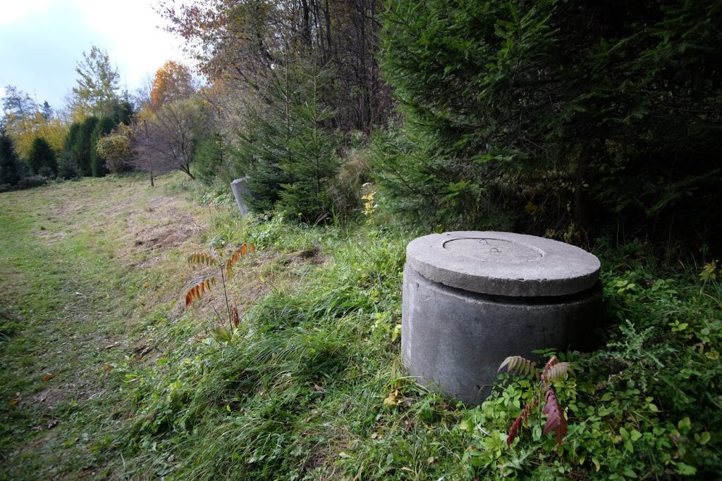
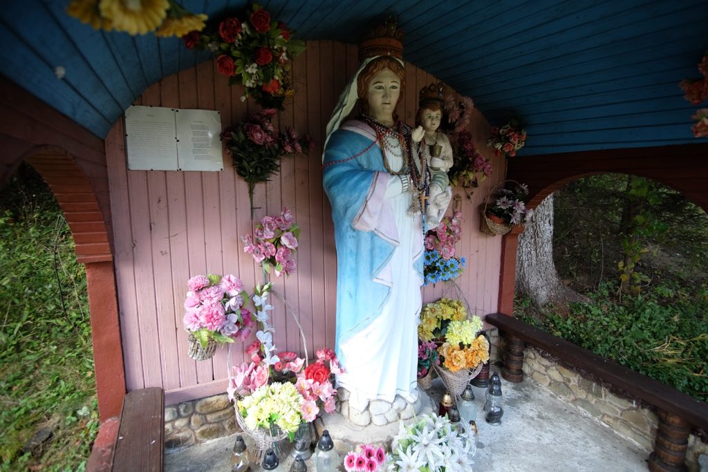
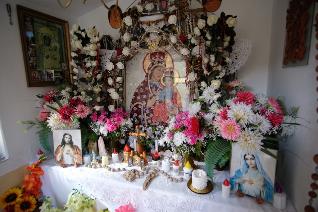
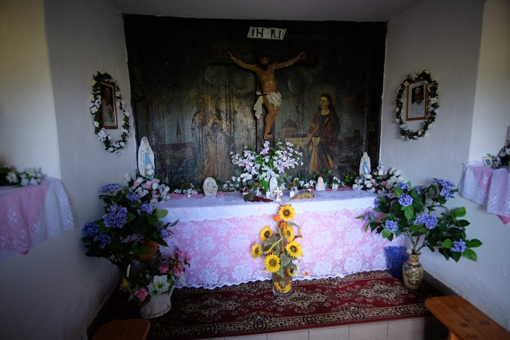
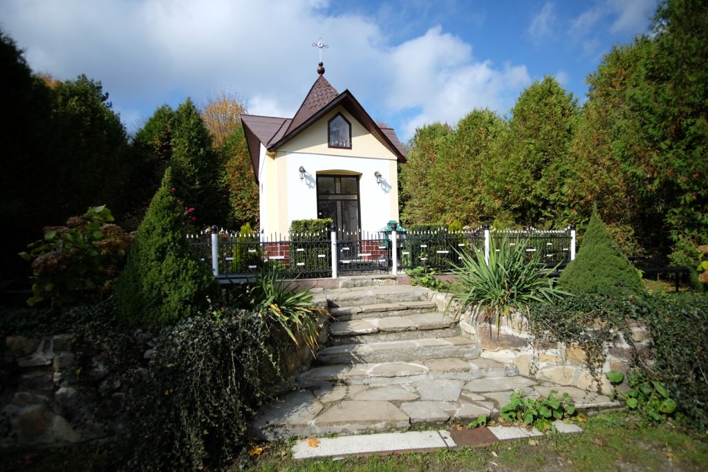
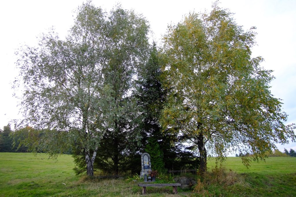
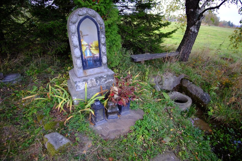
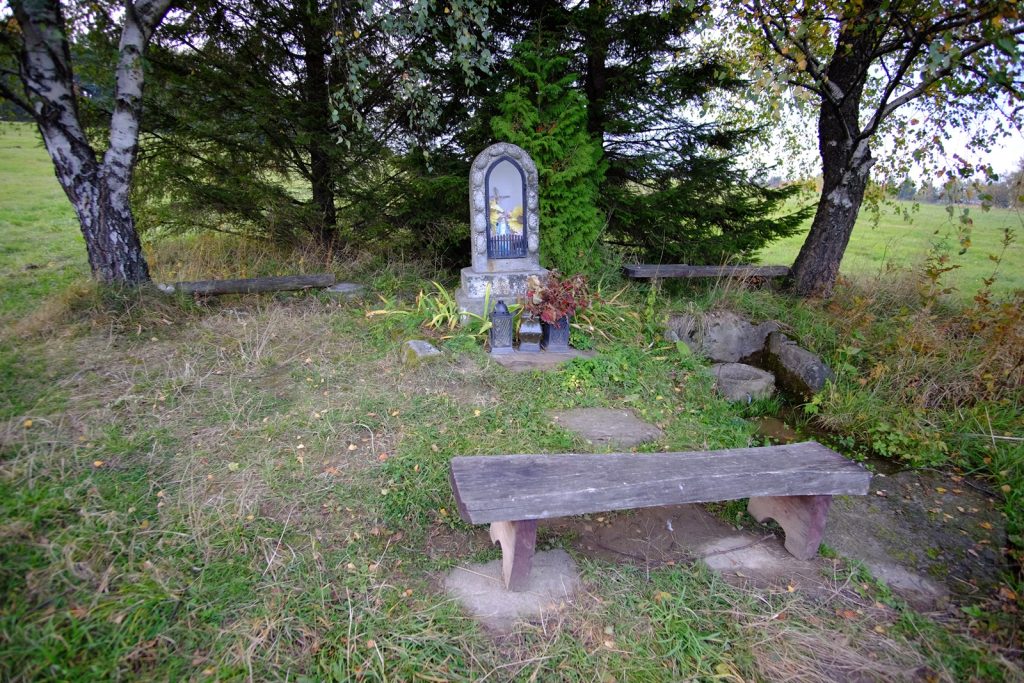
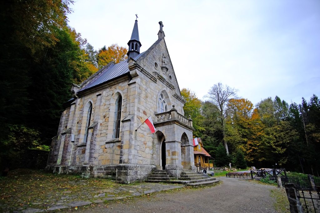
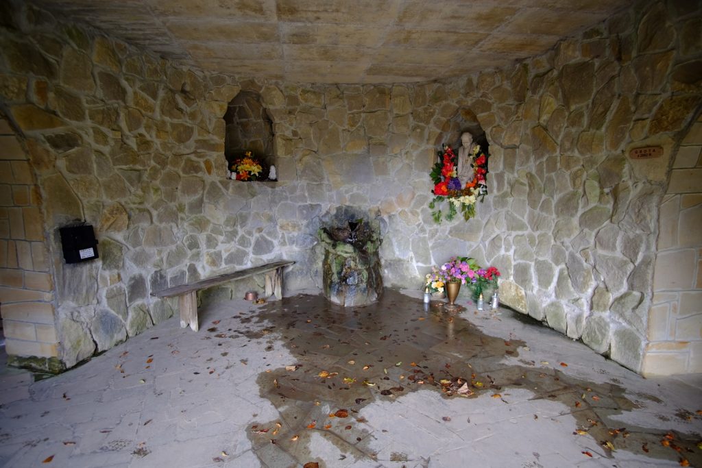
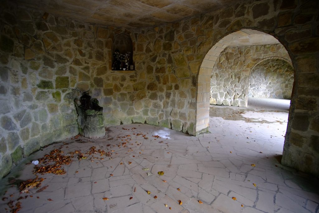
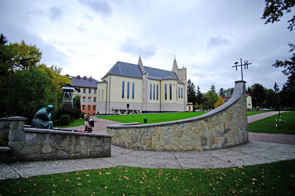
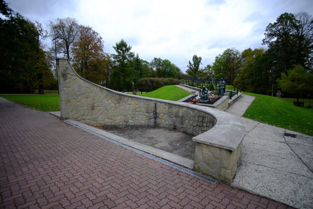
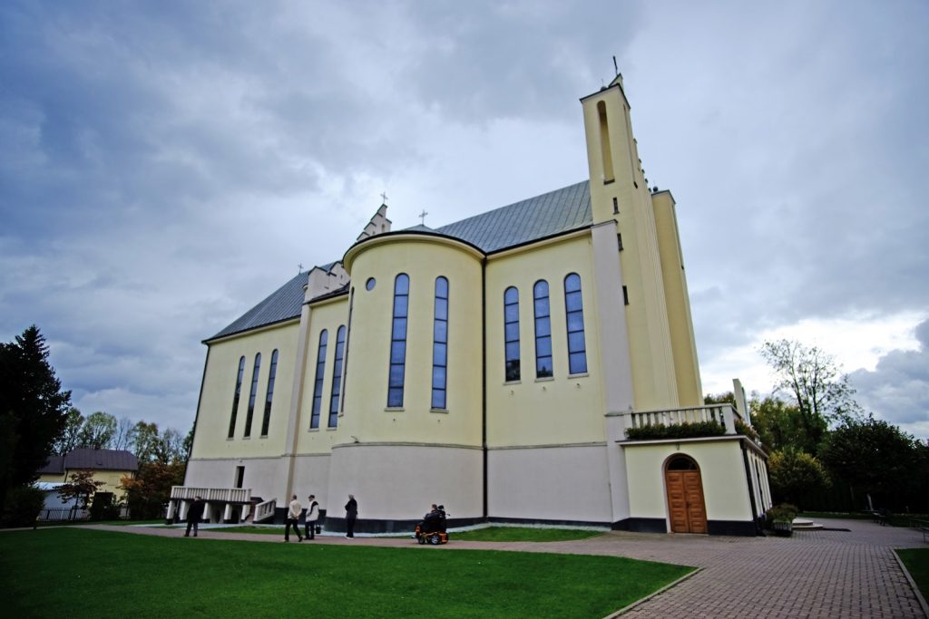
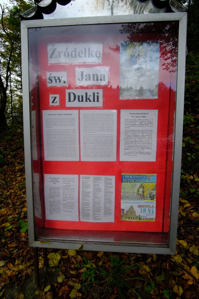
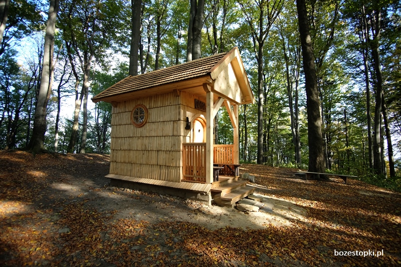
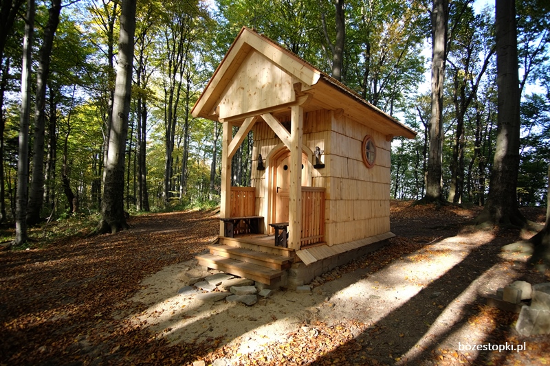
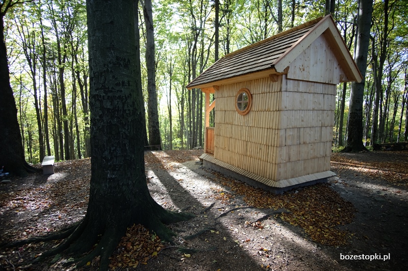
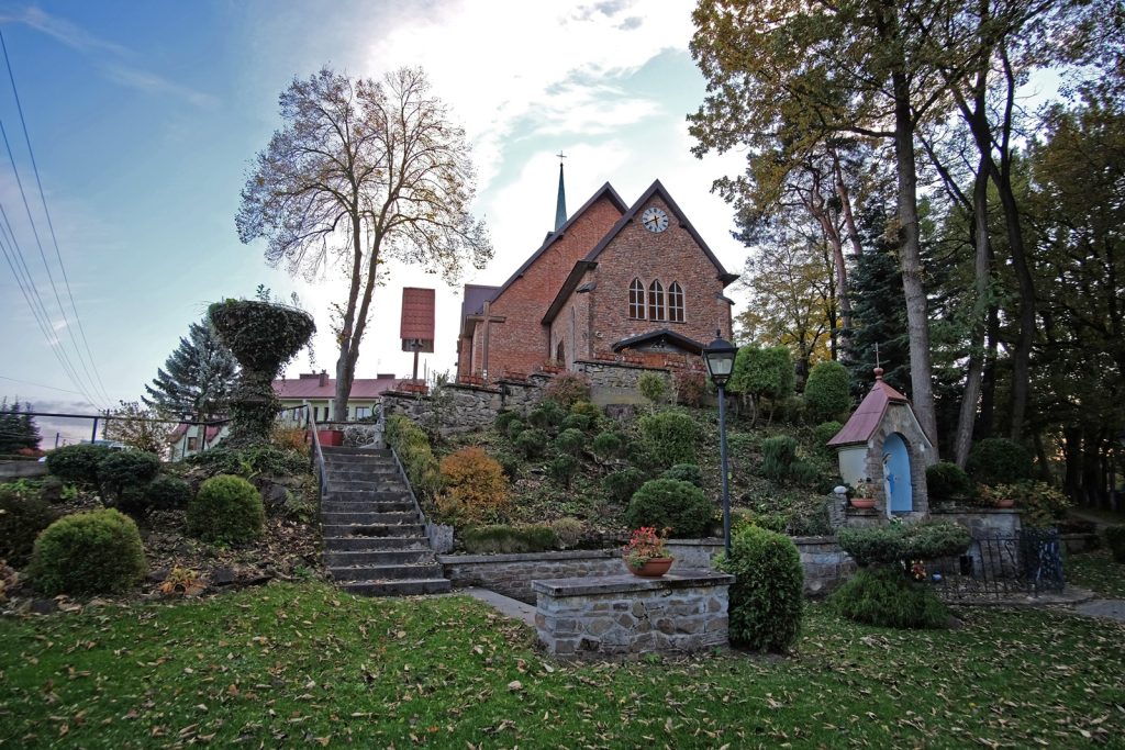
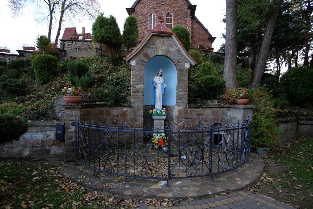
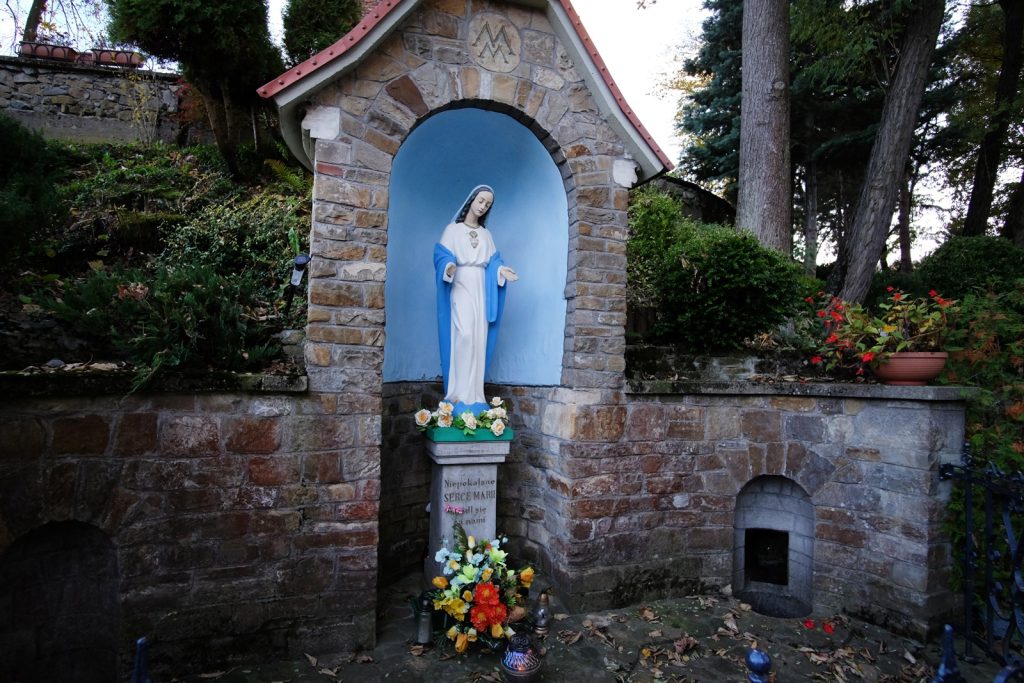
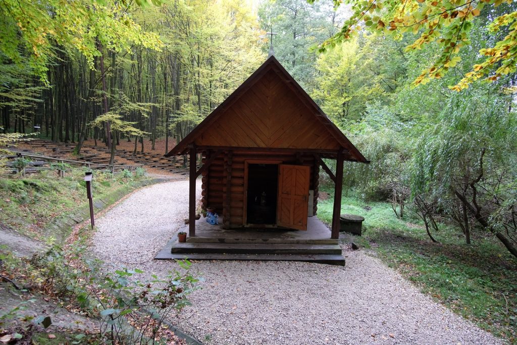
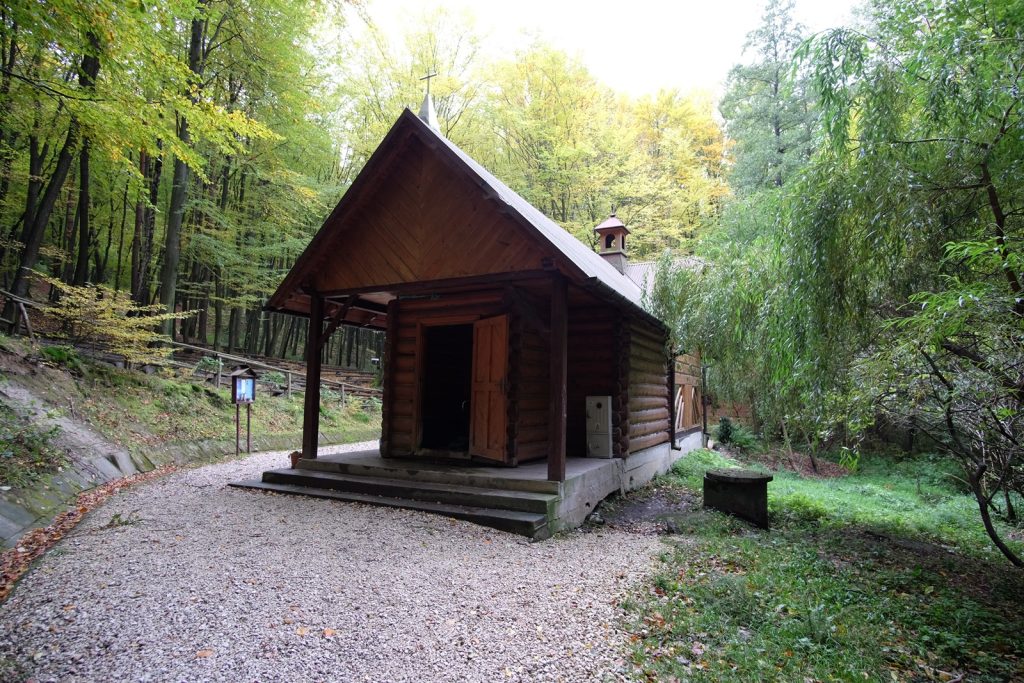
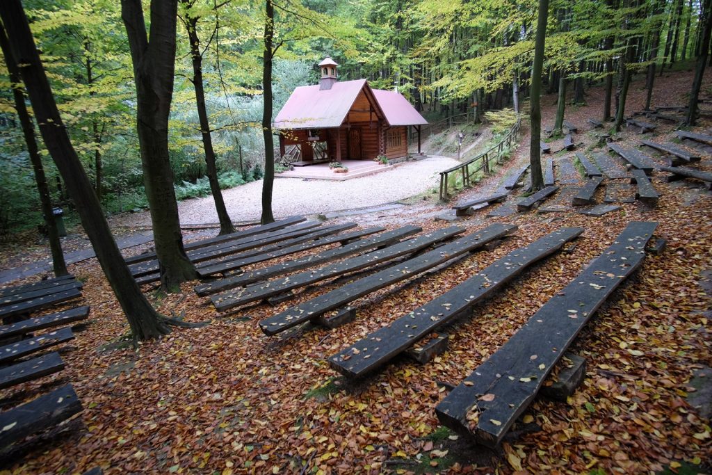
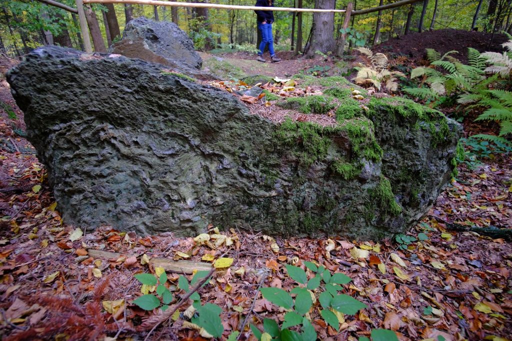
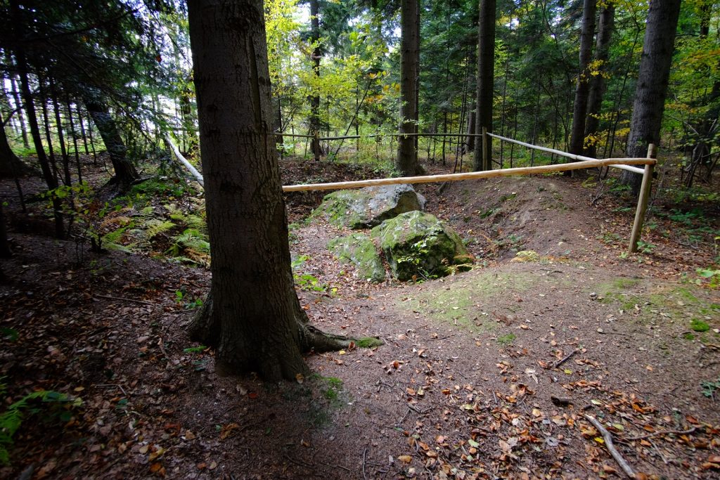
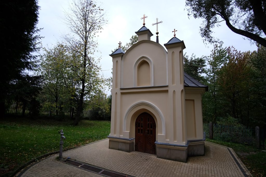
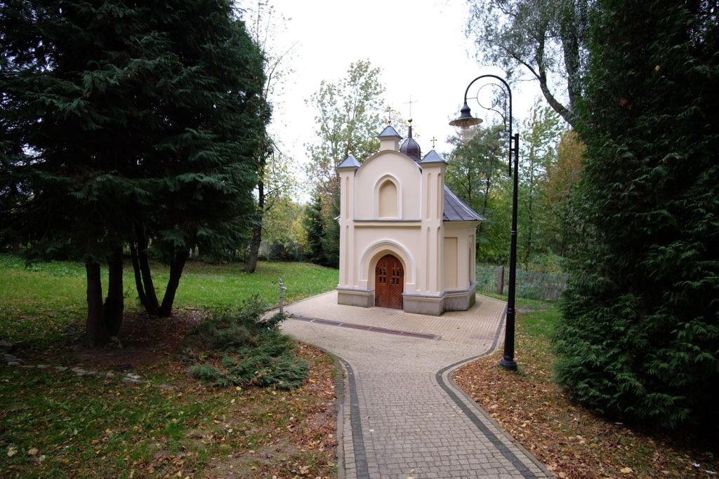
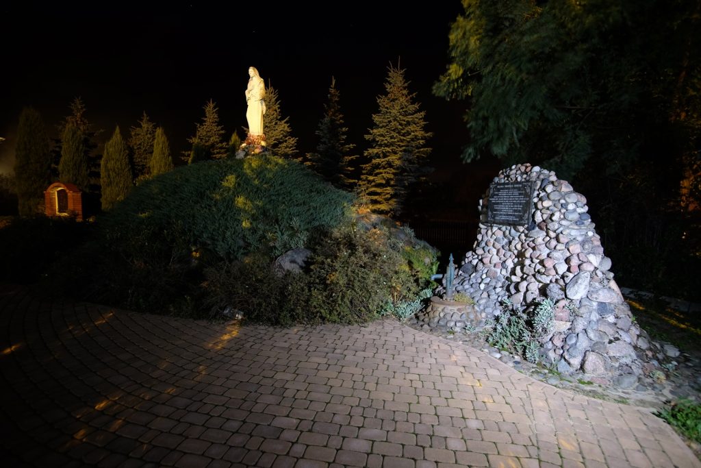
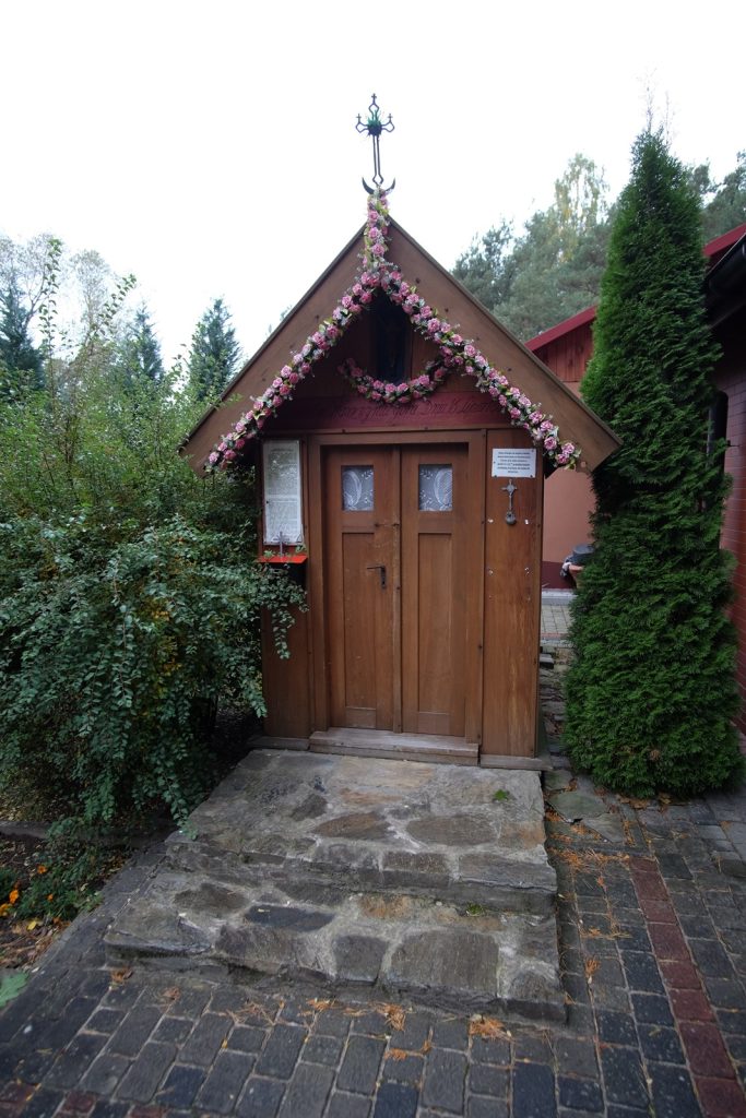
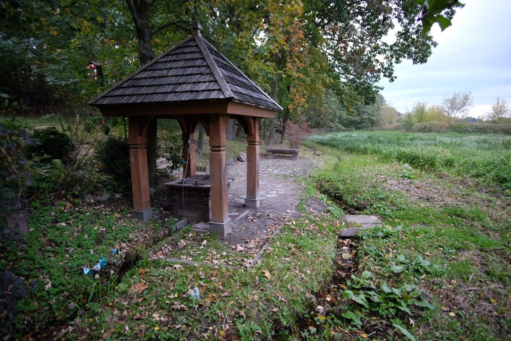
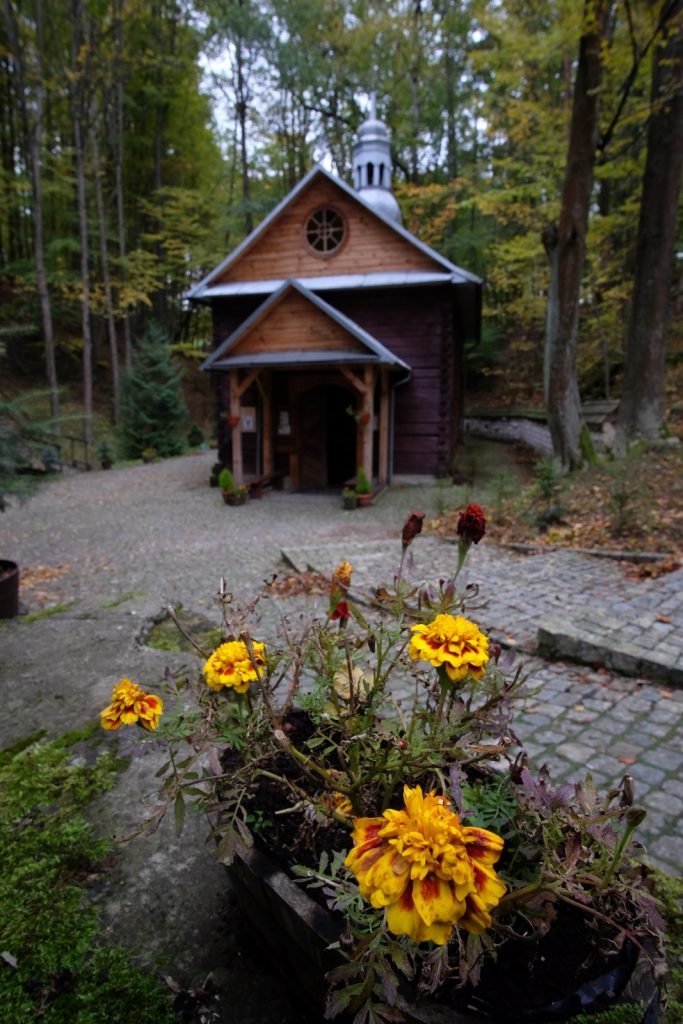
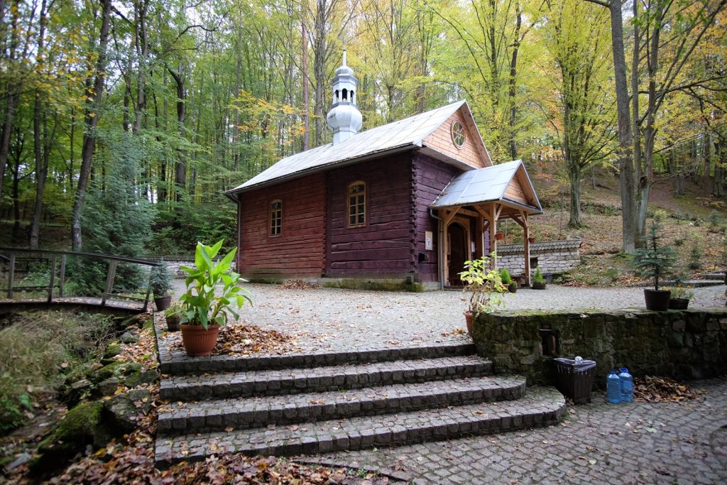
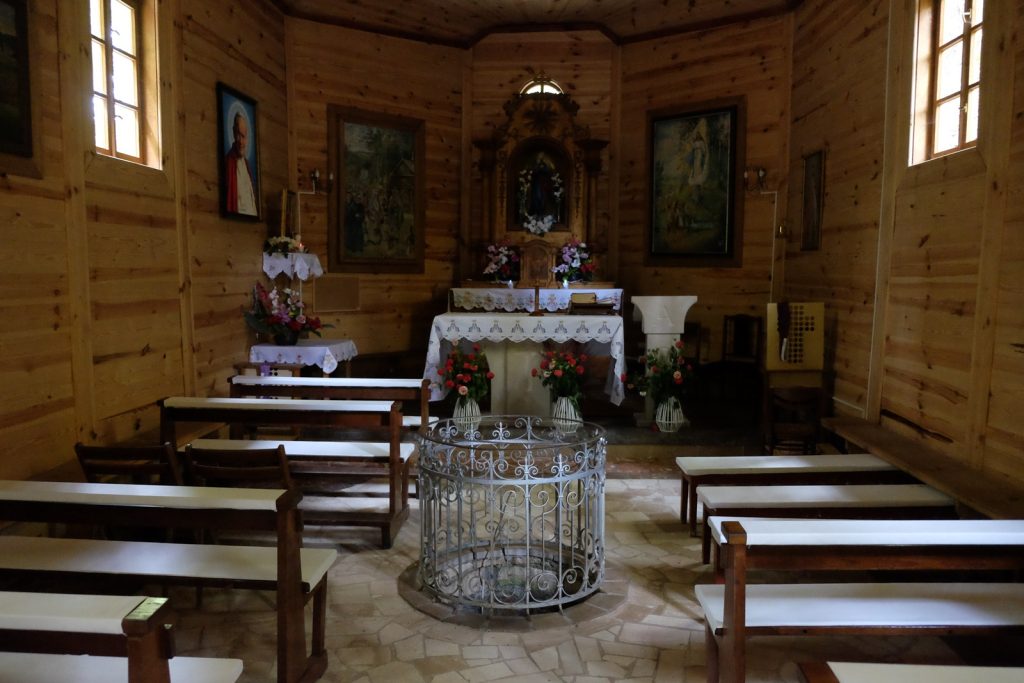
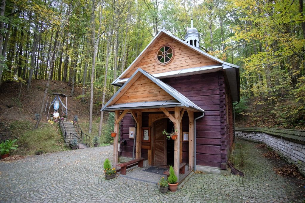
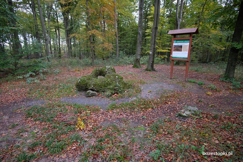
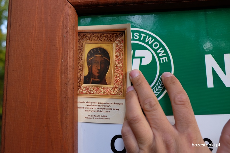
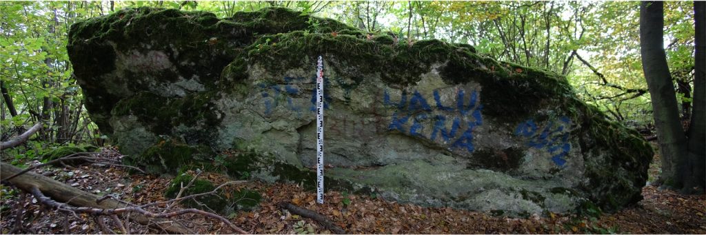
In the 1990s the site was renovated and developed. This was done after the publication of the results of the archaeological investigation conducted by M. Parczewski in the newspaper "Nowiny". The text written by J. Miszczak contributed to the spread of knowledge about the miracle site and the cross itself (J Miszczak 1994). The Way of the Cross and the grotto of the Virgin Mary were built. Today, the spring enclosed by the grotto is visited by numerous believers.

Sources of information: O. Kolberg, Sanockie-Krośnieńskie, III, Works All 51, 1973, 80; M. Parczewski, Krzyż ze Zwierzynia, Połoniny 89. Informator Krajoznawczy, 1989, pp. 4-12; J. Miszczak, Śledztwo w sprawie krzyża, Nowiny 65 (13688), 1-4.04.1994; field queries.

Geographic coordinates: 49.43491, 22.39889

Location on Google maps

LIPOWIEC, GM. JASLISKA, POW. KROŚNIEŃSKI LIPOWIEC, GM. JASLISKA, POW. KROŚNIEŃSKI

LIPOWIEC, GM. JASLISKA, POW. KROŚNIEŃSKI

The site of the May 16, 1949 apparition to three boys (shepherds) of the Virgin Mary.
The boys were playing priests by fumigating the shrine with smoldering wood from a bonfire. The
fire was ignited and part of the altar in the shrine caught fire. Two boys were extinguishing the fire, the third
- Janek Bukowczyk - remained by the fire, when he heard the sound of a rolling boulder and a bang.
Turning around, he was to see the figure of Our Lady with the infant Jesus against the rays of the setting
sun. The figure threatened him with her finger and admonished him to keep the holy day holy. The boy
ran to the other two and told them about the miracle, but those there saw nothing. News of
the apparition quickly spread in the area and a pilgrimage movement to the place developed. A shrine
at the site of the 1993 apparition and a spring capped by a well. Next to it is a second brick chapel.

According to beliefs, the water has healing properties. There are Stations of the Cross between this place and the church in Jaśliska. Rosary and penitential pilgrimages from May to October on every first Sunday of the month. The area of the village of Lipowiec, depopulated as part of the Vistula action. During the apparition
pastures used by the inhabitants of the village of Jaśliska. By the shrine of 1911 on the so-called
Spirited Road.

Sources of information: Szubrycht 2015; field searches.

Geographic coordinates: 49.418750, 21.787172

Location on Google maps

Stępina - Chelm Mountain, Frysztak municipality, Strzyżowski district. Stępina - Chelm Mountain, Frysztak municipality, Strzyżowski district.

Stępina - Chelm Mountain, Frysztak municipality, Strzyżowski district.

There are a number of beliefs associated with Mount Chelm, one of which is that it was once a place of pagan worship. On the mountain lived the Snake King, half man half snake, who was highly revered. Before World War II, residents of nearby villages warned against wandering through the woods lining the mountain during the autumn and spring solstices, as he could be encountered then. Another legend tells of a church that was supposed to stand on the mountain, built by Benedictines on the site of a pagan temple. Over time, the church collapsed, and a shrine was erected in its place. Only the linden trees surrounding it have survived. Legend has it that during an indulgence its participants got drunk and beat each other, causing a curse to fall on the church. The chapel houses an image of Our Lady of Lezaj. A legend about the huge linden tree growing next to the shrine says that it once stood next to the church. At the time of the Reformation the linden cracked while its trunk split in two, symbolizing the division of Christianity. The remains of a cross from a defunct church were said to have grown into the tree's trunk, hence the tree is considered sacred. One of the pastors from the village of Fryshak once wanted to cut down the trees, but blood poured from their trunks after the axe was struck. Mount Chelm was the site of numerous pilgrimages. A procession would go around the shrine, after which the faithful would go to the fields, where they would bury "vanillas", i.e. scraps of paper to protect the crops from disasters, on their borders. Today there is a nature reserve on Chelm Mountain with an area of 155 hectares.

GPS Location: 49°53'8.28″N; 21°33'52.81″E

GChelm013 GChelm017 GChelm020 GChelm030 GChelm004

MONASTERZ, GM. HORYNIEC-ZDRÓJ, POV. LUBACZOWSKI MONASTERZ, GM. HORYNIEC-ZDRÓJ, POV. LUBACZOWSKI

MONASTERZ, GM. HORYNIEC-ZDRÓJ, POV. LUBACZOWSKI

The so-called "Devil's Stone" in Verkhrat, a group of rocks on the so-called "Bear's Hump". Outcrop of Tertiary limestone rocks. Numerous traces of karst processes - holes and depressions of various shapes. According to one of the legends, the rocks and especially the largest one called "Devil's Stone" are the remains of a boulder that the devil sent from hell carried to drop on the monastery and church in Monasterz. On his way, the devil decided to rest for a while and then he was found by dawn, which forced him to drop the boulder. According to a more elaborate version of the legend, the devils were said to have their habitat in a place called "Moors." The strongest of them, unable to endure the presence of monks in Monasterz, set out for Brusno and the stone mountain where he uprooted a huge chunk of rock.

Wandering through the mountains and valleys at night, he became very tired and decided to rest for a while once he was close to the monastery. He laid down his boulders and took a nap when he was suddenly awakened by the crowing of a rooster from a nearby village. As the day dawned, the devil lost his strength and, out of rage, drove his claws into the stone, traces of which are still to be seen today, after which he fled to Moczar.

Approximately 2 km away are the ruins of a medieval Orthodox monastery.

Information source: Kierepka F., Tales from Roztocze. On the track of legends and history, Zamosc 2022, pp. 174-176; Information board of the Lubaczów Forestry Division at the boulder; field queries

Geographic coordinates: 50.266050, 23.429298

Location on Google maps