OSTROWY TUSZOWSKIE, GM. CMOLAS, POW. KOLBUSZOWSKI
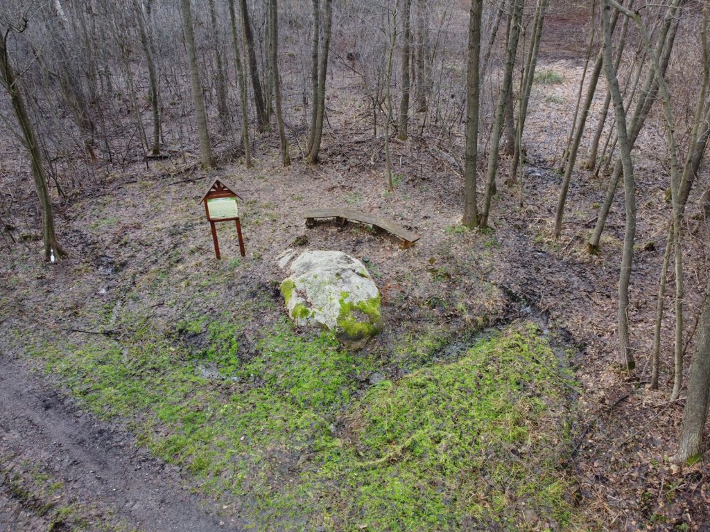
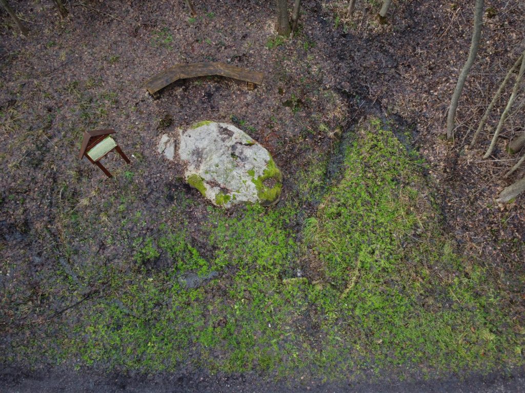
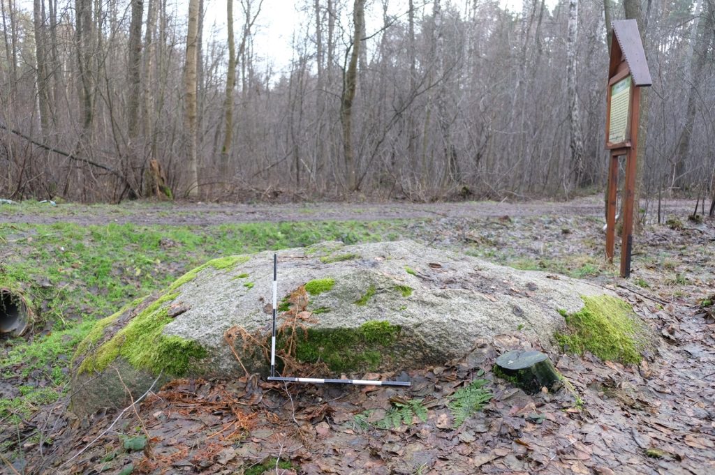
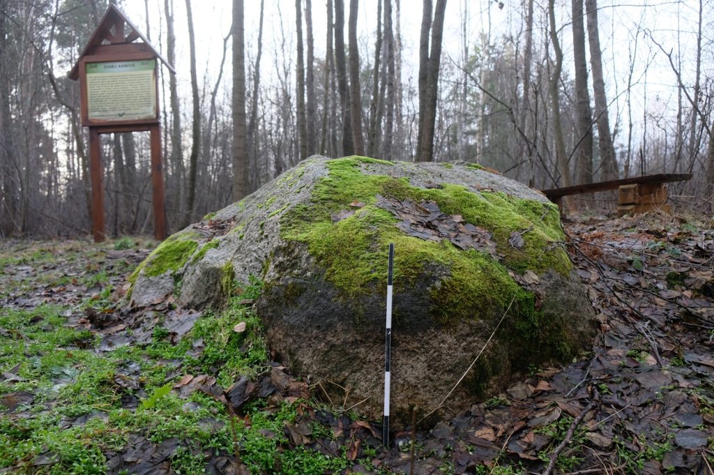
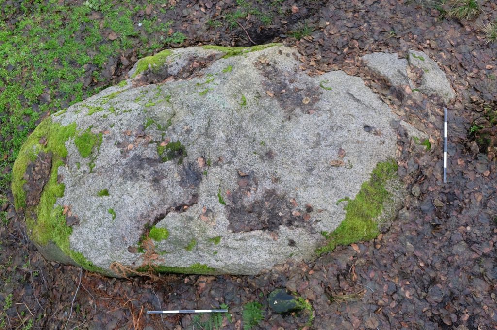
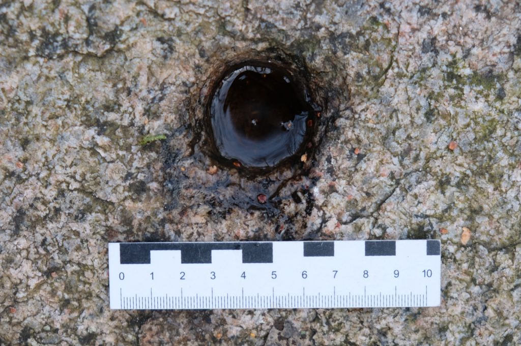
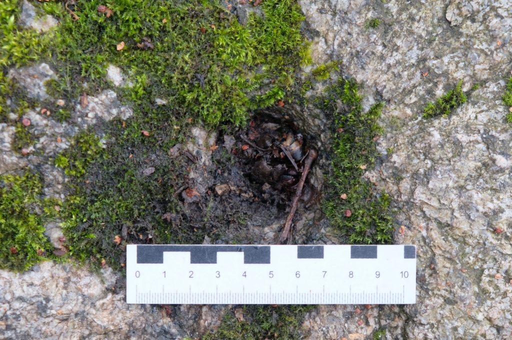
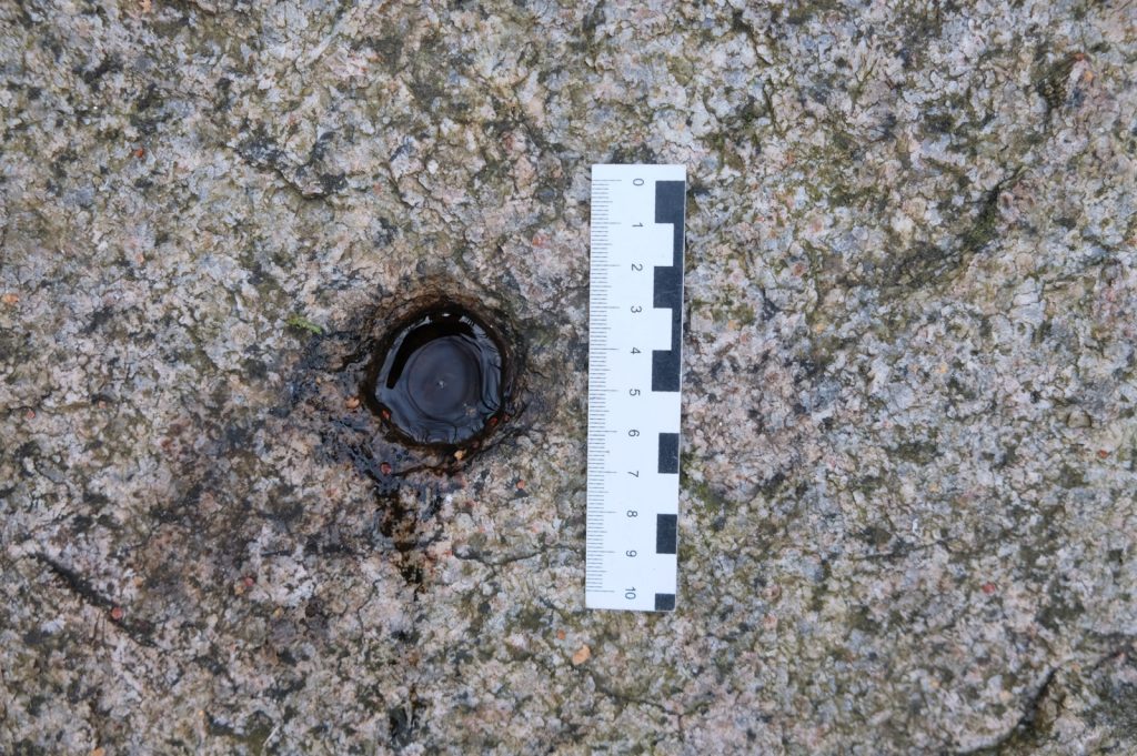
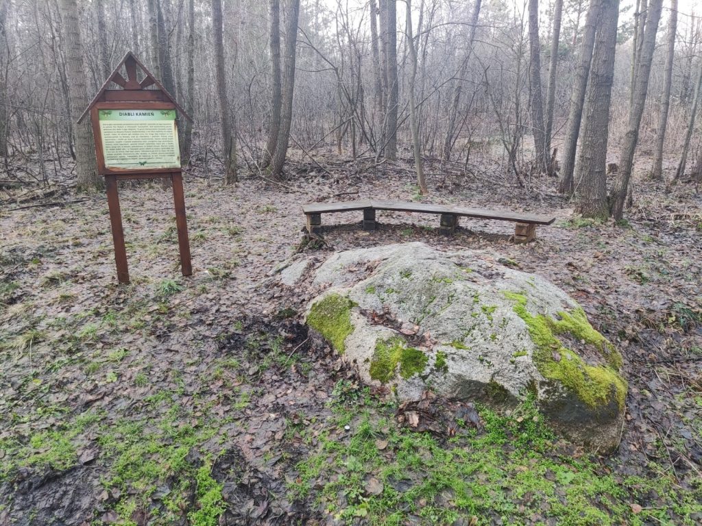
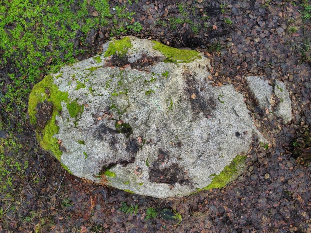
An erratic boulder (Scandinavian granite) with dimensions: length 3 m, width 2.2 m, height 0.8 m. On the surface one can see holes created by drilling with an auger, probably in order to split the stone or during the celebration of the so-called "Sobotka".
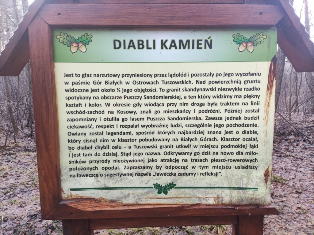
According to local beliefs, the devil appeared on the stone in various forms. One version of the legend says that the devil was supposed to hurl a stone at the monastery in the White Mountains, however, he missed, and the stone was hurled into the marshy meadows. A spring bursts out just nearby, but no information has been recorded regarding possible beliefs about it. The boulder is located in a marshy wetland at the foot of the so-called "Monastery Hill." Currently it is a forested area of the Sandomierz Forest, but a few decades ago it was occupied by meadows. According to local tradition, there was supposed to be a monastery (or church) here, which had collapsed, or possibly a "pagan charm". On Pentecost, local residents used to burn St. John's Day fires at the site.
Geographic coordinates: 50.301492, 21.655571
Sources of information: Kotula 1974, 174-175, Fig. 87; information board; field queries
Location of place on Heldensfeld's map of Western Galicia (1801-1804); (Anton Mayer von Heldensfeld, Carte von West-Gallizien welche [...] in den Jahren von 1801 bis 1804...}.