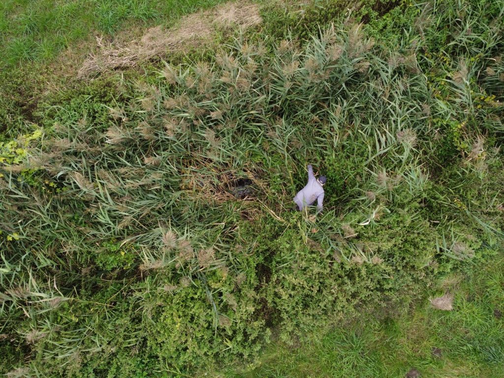
An erratic boulder of irregular triangular shape, located in the arable fields west of the buildings of the village of Wrząca, in a place called "Gać". A quartz sandstone, white, fine-grained, with a circumference of 8.5 m and a height of about 1 m.
On the surface of the stone is an elongated, trough-shaped depression about 80 cm long, max. 40 cm wide, max. 20 cm deep, usually filled with rainwater that collects here - according to local beliefs, the water in the depression never dries up. The stone is called "the bathtub of the Virgin Mary" in local tradition. On both sides of the elongated hollow are circular holes, most likely made by human hand, called "pot" (with a diameter of 20 cm) and "pot" (with a diameter of 5 cm). The northern part of the boulder is covered with numerous shallow "holes", most likely traces of a fire auger.
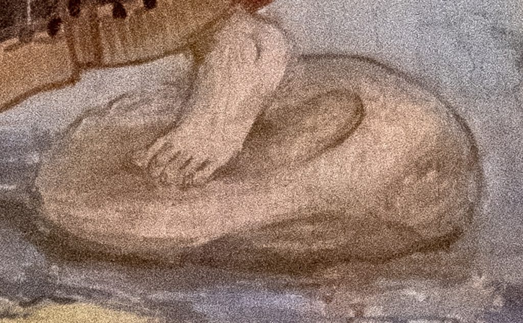
J. Kolski cites a local legend about the stone noted in the early 20th century: "On her escape from Egypt, the Mother of God stopped at this place. In a tub on the stone she bathed the Child, in a pot she heated water, and in a small pot stood a candle." According to local beliefs, the water collecting in the hollows had miraculous healing power, "very helpful for the eyes." As the story goes, one time a local sheepherder washed his dog's eyes and the water lost its miraculous power.
At night a light was to be seen over the stone. According to tradition, around 1840 the heir to an estate in nearby Komornice, being ill, was supposed to have a dream to take care of the "miraculous place" and the stone would then
recover. The boulder was dug up to make it more accessible to visitors, the place was planted with trees, and the road leading here was also improved. On the day of the indulgence in nearby Grzymiszewo, September 8, the stone was visited in large numbers by the faithful, who washed their eyes and face with the "miracle water."
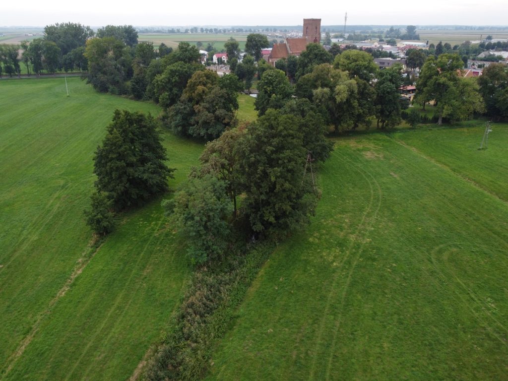
The same field was once said to contain two other "people-like" stones, one of which was buried near a nearby stream, while the other was used to build the foundations of the manor house. Currently, the "Panorama Bike Trail" bike path runs through the area, and there is an information board at the stone. During a field search in 2022, I found more than a dozen fragments of Bronze Age clay vessels in an arable field a few meters from the boulder.
Sources of information: Kolski 1901, 33-41; Czernicka-Chodkowska 1980, 69; Gralak 2004, 41; field queries
Geographic coordinates: 52.018675, 18.419352
Location on Google maps


WRZĄCA, GM. TUREK, POW. TUREK by Chodlik Archaeological Mission on Sketchfab